Homosassa Springs

March 2024

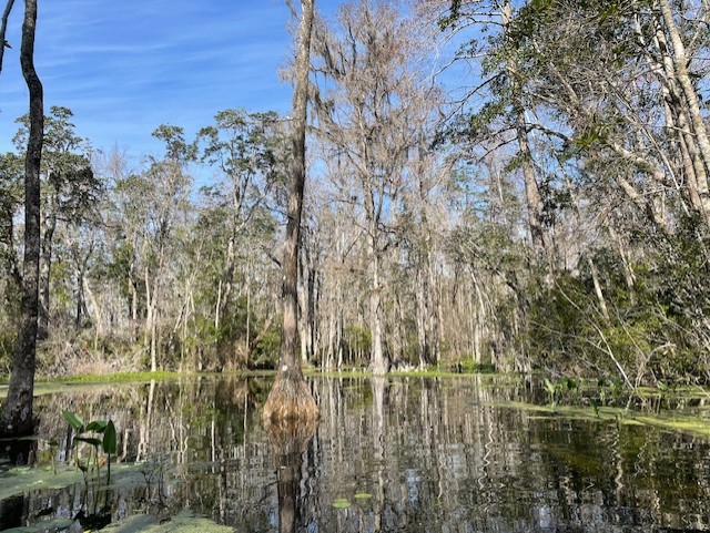
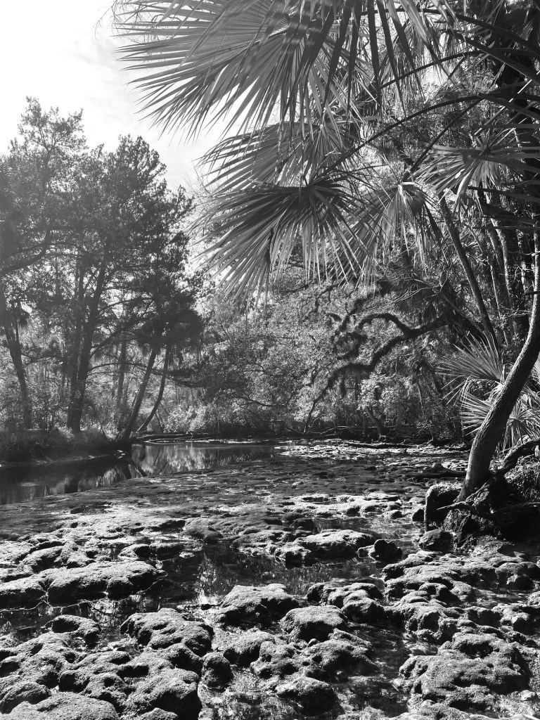
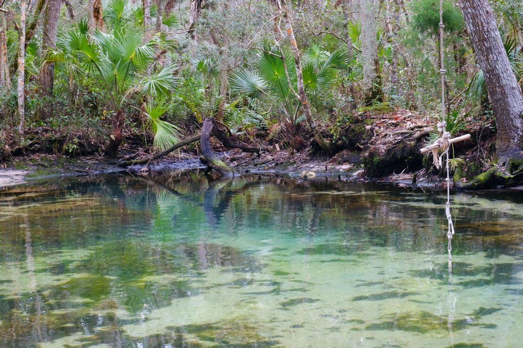
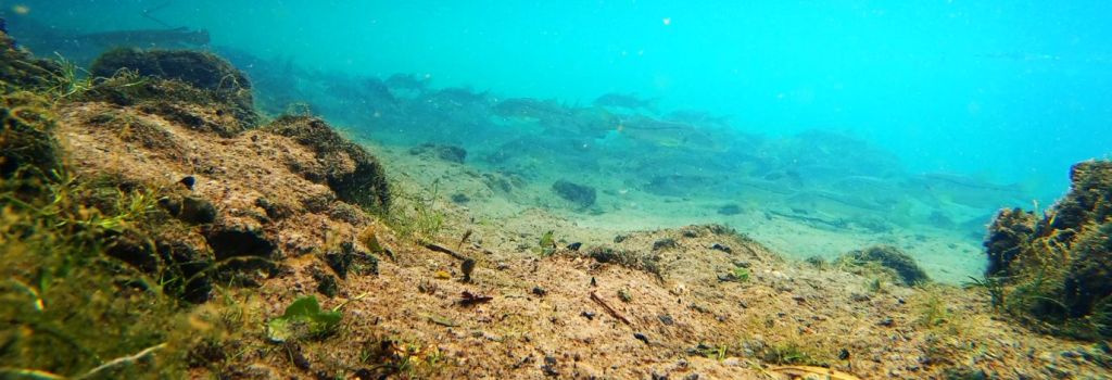
The Homosassa Spring main vent, called “The Fish Bowl”.

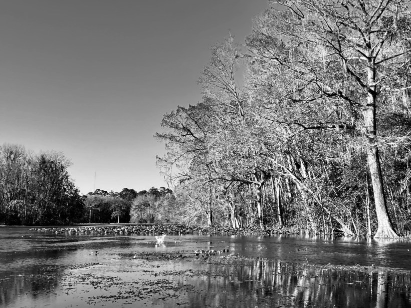
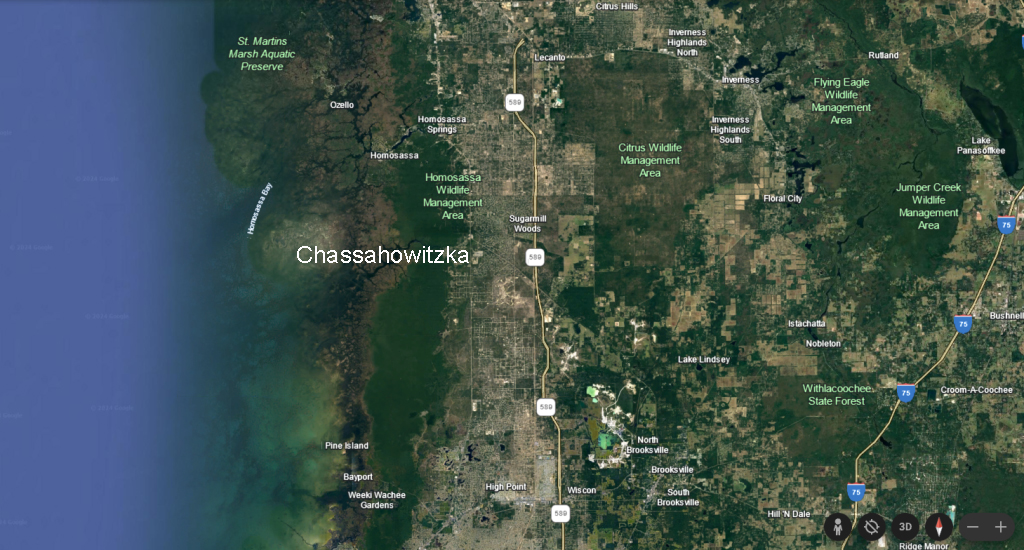
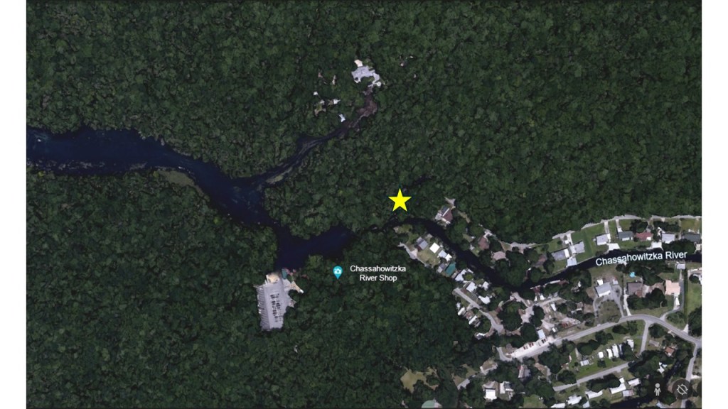
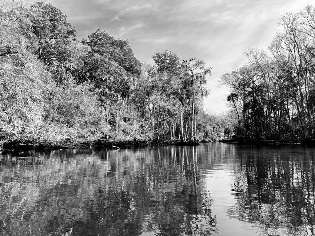
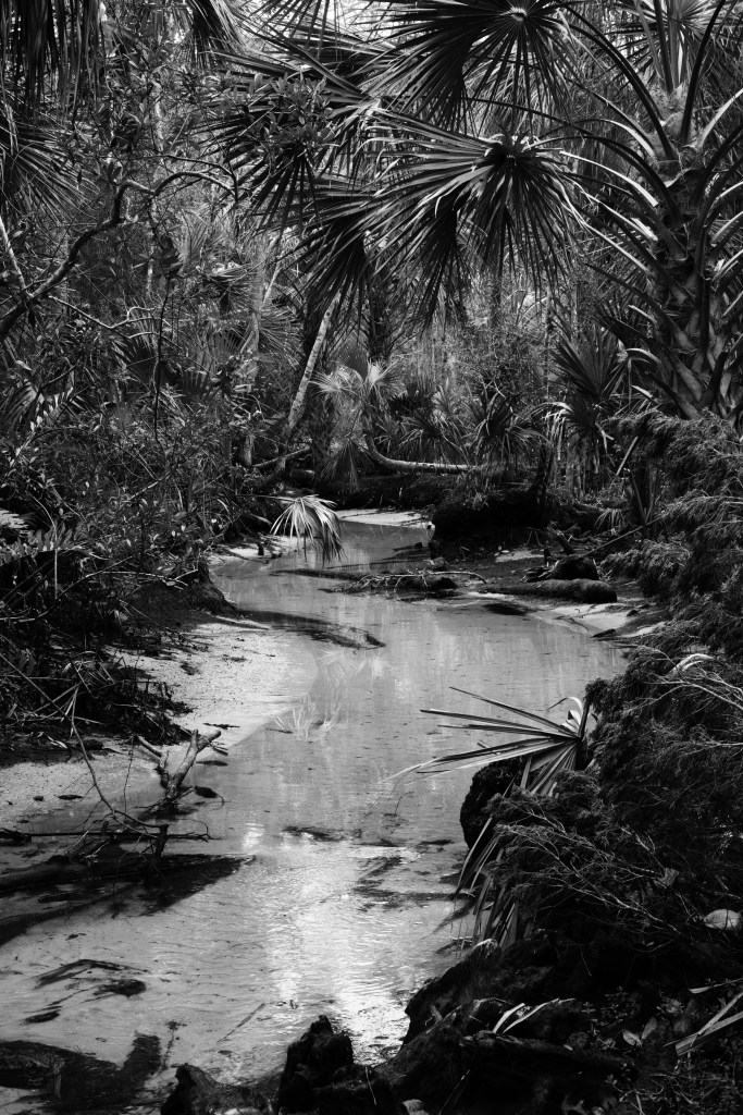
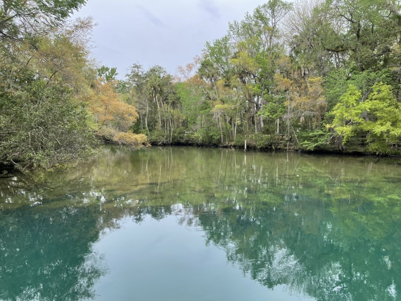
Homosassa Springs is like no other: part spring, part rehabilitation facility, part zoo. It sits on the “Nature Coast”, just south of Crystal River and north of its famous cousin, Weeki Wachee State Park. The whole coastline in that region of Florida is fairly undeveloped, but a ridge just to the east of the coastline has experienced rapid development. The land just to the east of that ridge has been in agricultural use for many, many decades.

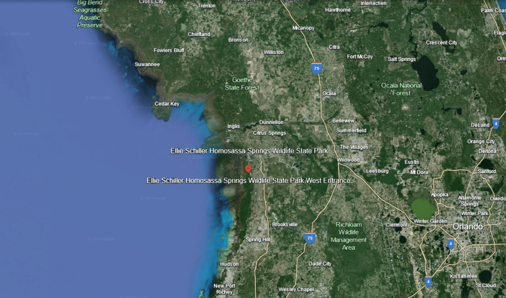
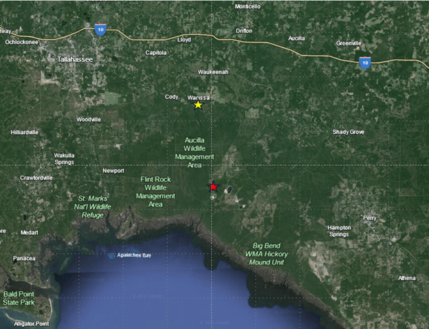
The location of Ellie Schiller Homosassa Springs Wildlife State Park in the Nature Coast.

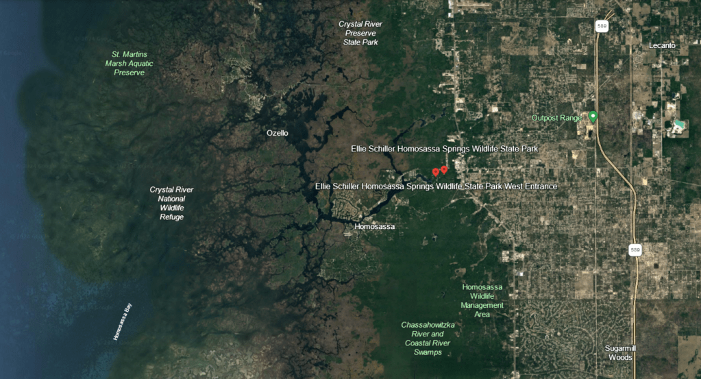
A close-up of the Nature Coast showing Homosassa Springs feeding into the matrix of channels along the Nature Coastline.

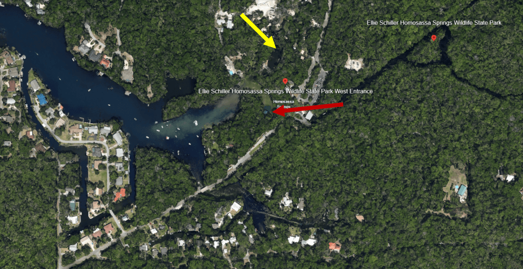
An even closer close-up of the spring showing the clear water flowing into the larger channel of the Homosassa River. The red arrow shows “The Fish bowl” and the yellow arrow shows the wildlife park.

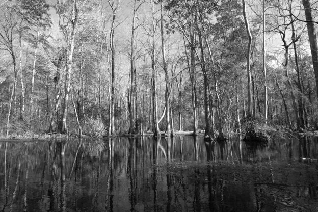
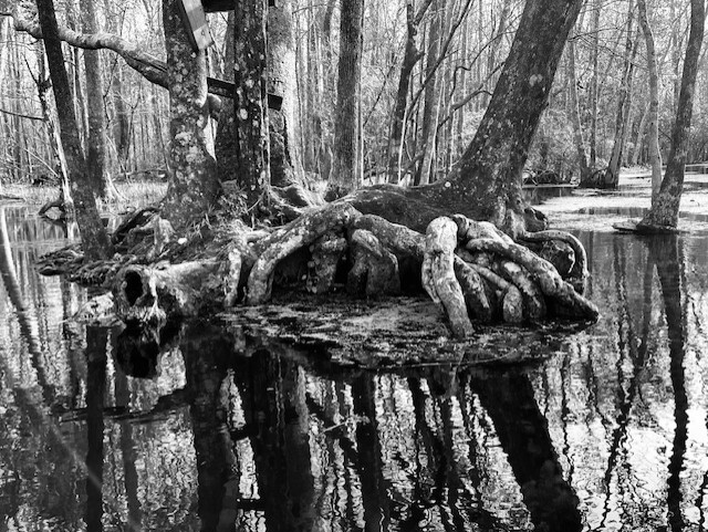
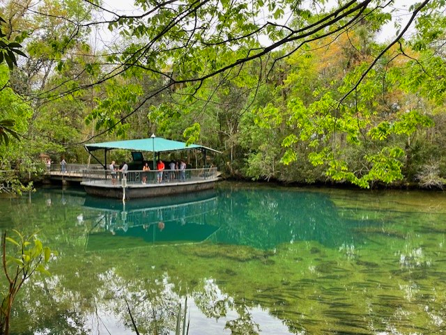
Officially called Ellie Schiller Homosassa Springs Wildlife State Park, the spring has been an attraction since the late 1800s. The park was one of Florida’s earliest attractions; a train bought visitors to the spring from 1893 to 1941. In the 1920s, a bridge built over the 55 ft. main vent, christened “The Fish Bowl”, allowed visitors to see through the clear water to the fish below. In the 1950s, an observation platform and underwater observatory replaced the bridge to give visitors an even more intimate view of the abundant common snook (Centropomis unidecimalis) and grey snapper (Lutjanus griseus) in the headspring. The state bought the property in 1989 and named the park for noted fisheries biologist/environmental advocate/philanthropist Ellie Schiller.

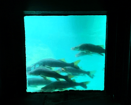
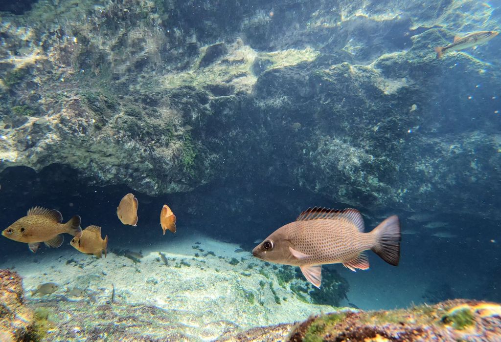
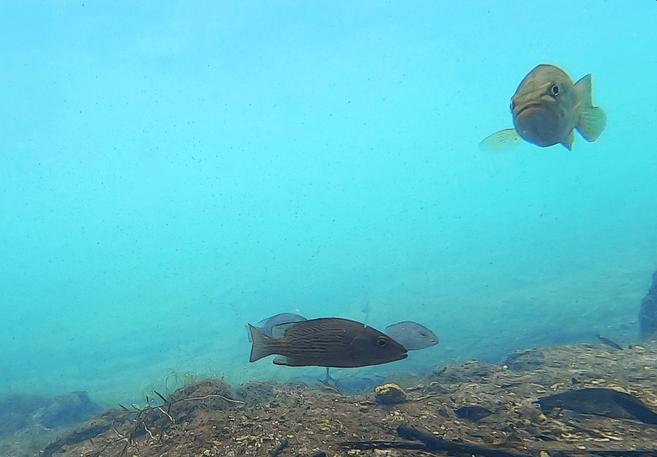
Common snook (top) passing by the window of the underwater observatory and some grey snapper (bottom) contemplating the drop off to the vent at the headspring.

In the 1940s, the wildlife park contained a variety of exotic animals like lions, bears, and monkeys. Now all the animals in the park are native to Florida, with the exception of Lu the hippo.

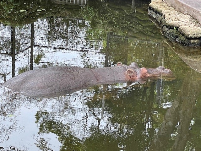
Lu, the hippo (Hippopotamus amphibius).

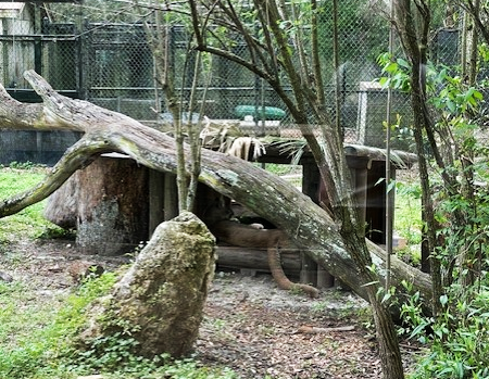
A Florida panther (Puma concolor coryi) resting in its house.

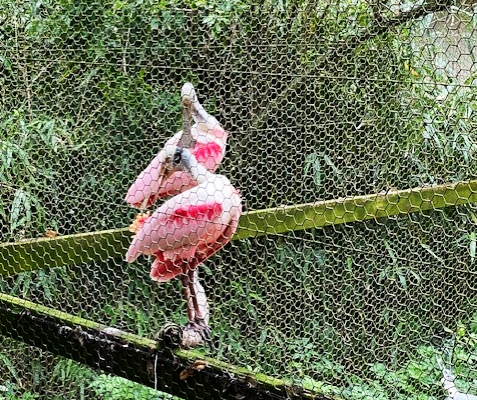
Two roseate spoonbills (Platalea ajaja) preening.

A barred owl (Strix varia) looking decidedly unimpressed.

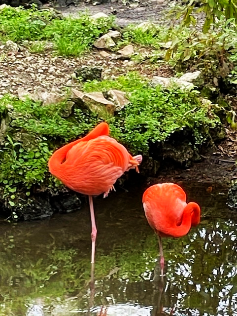
Two flamingos (Phoenicopterus ruber) resting on one leg.

The park also rehabilitates injured manatees and serves as a refuge for uninjured manatees (Trichechus manatus). Manatees that have been hit by boats or stricken by cold stress (one of the most common sources of mortality for manatees after boat strikes) can recouperate in tanks on land. Once healthy enough to leave the tanks, they may be released into a large pen in the spring itself.

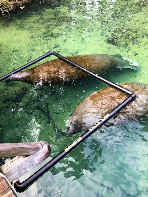
Manatees in the rehabilitation tanks (top) and in the natural pen being fed supplemental food (bottom).

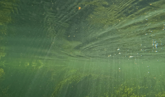
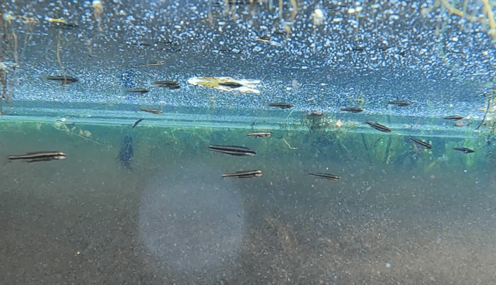
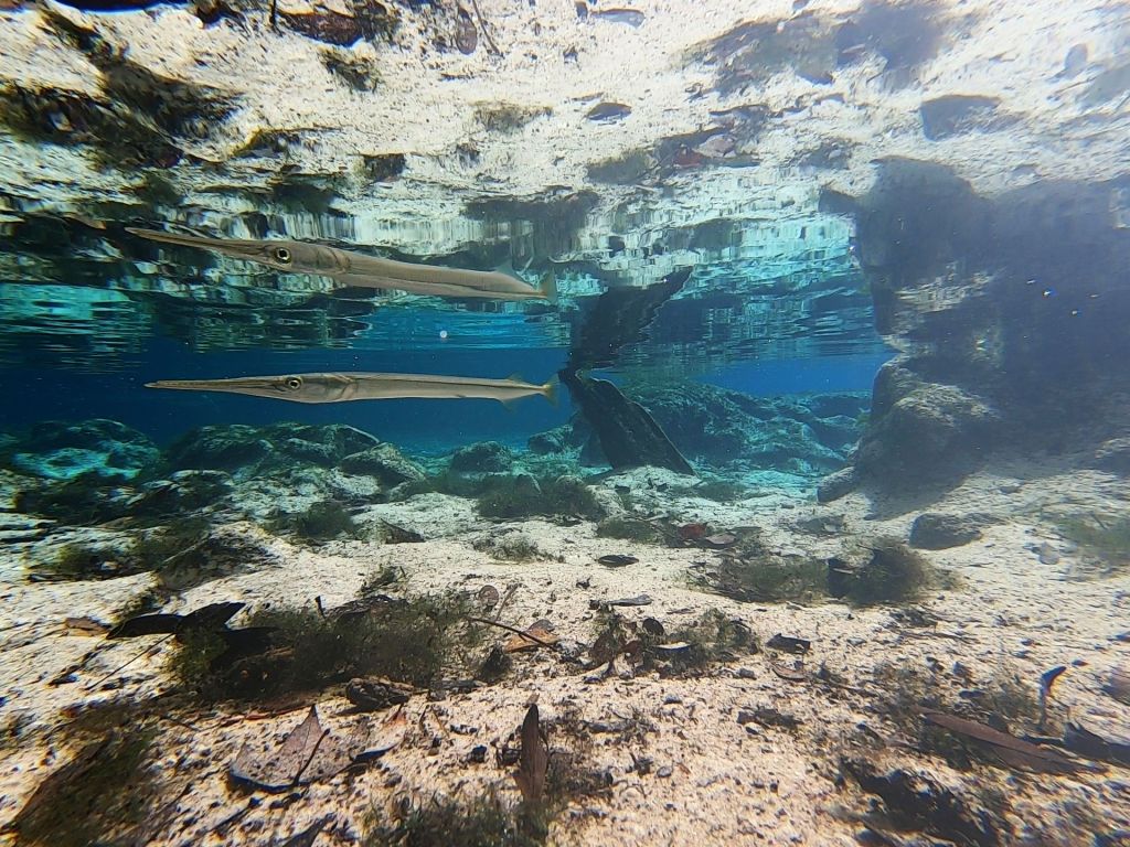
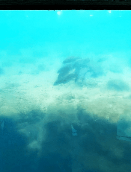
Unfortunately, my access to the water was somewhat limited, given the many uses and high public presence at this spring. The vast majority of the fish that I observed were in one of three salt-tolerant species: common snook, grey snapper, or sheepshead (Archosargus probatocephalus). I also observed a couple of Atlantic needlefish (Strongylura marina). Among the freshwater species, I recorded largemouth bass (Micropterus salmoides), spotted sunfish (Lepomis punctatus), and mosquitofish (Gambusia holbrooki).

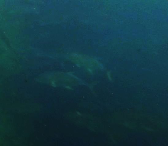
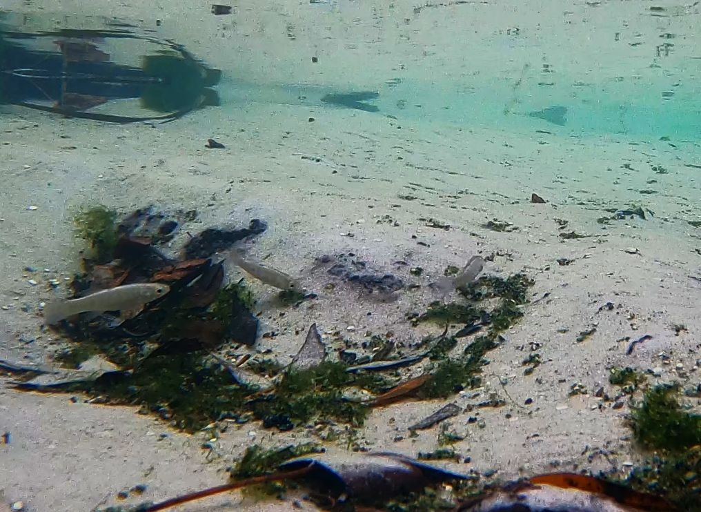
Common snook in The Fishbowl.

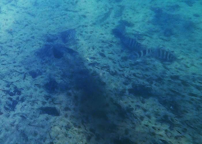
Three grey snapper and a largemouth bass near the bridge on the run that leads into the wildlife sanctuary.

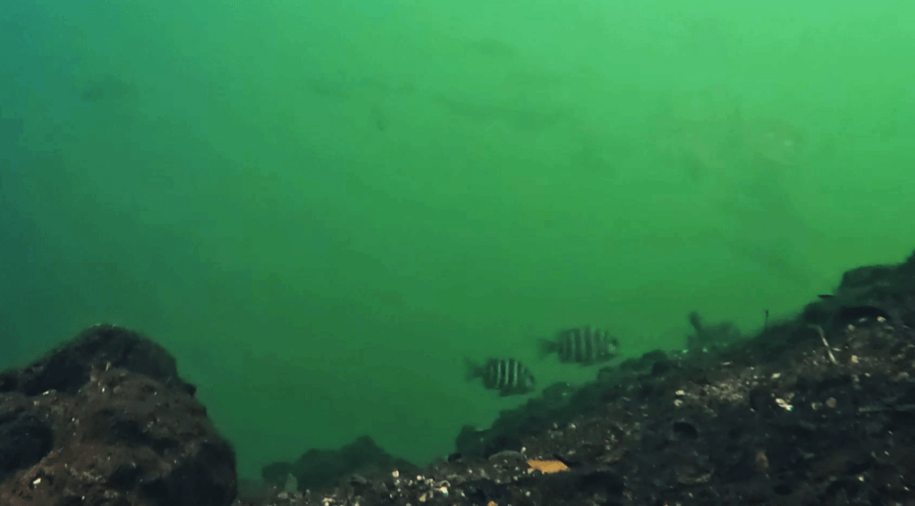
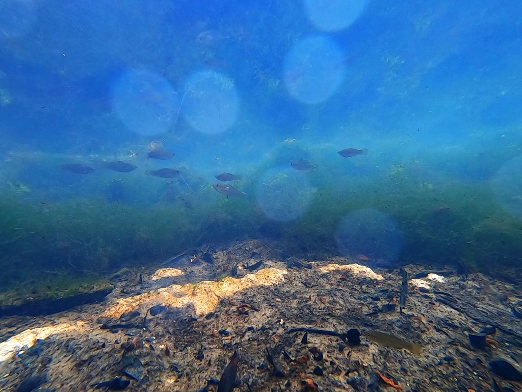
Two sheepshead in the Homosassa Springs’ Blue Spring.

Two spotted sunfish near the bridge on the run that leads into the wildlife sanctuary.

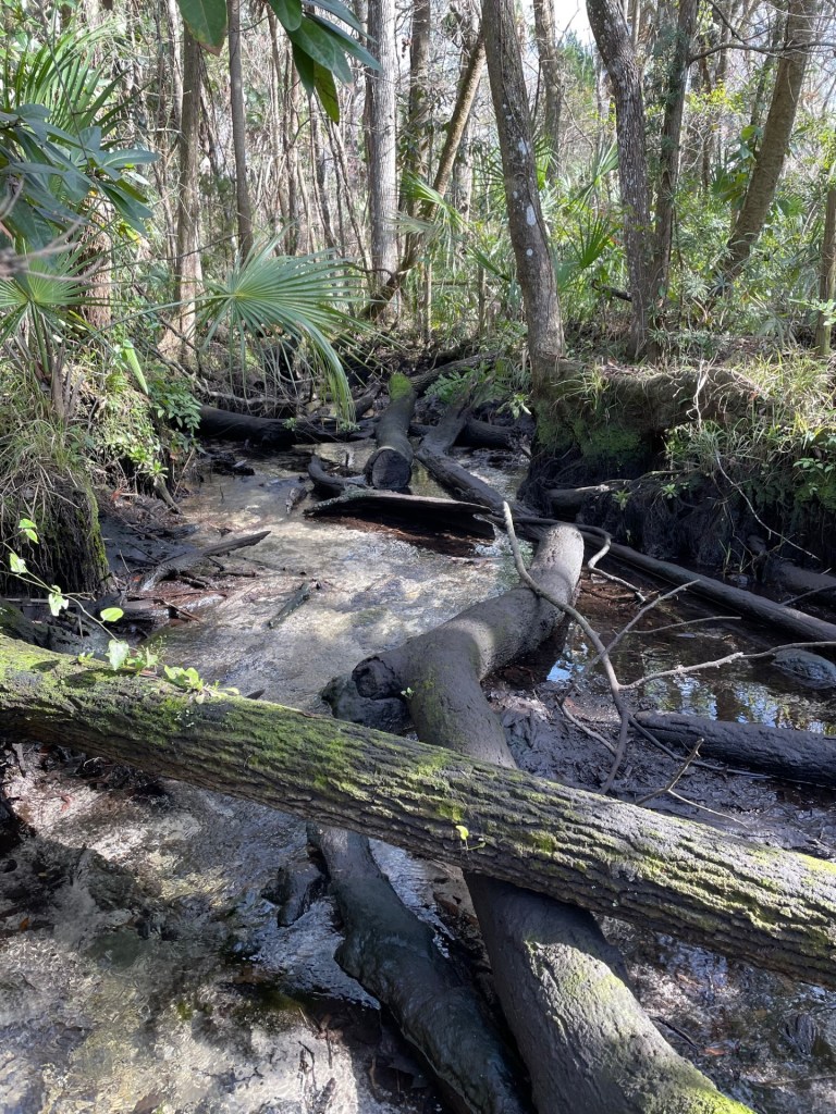
Homosassa Spring a first magnitude spring, with discharge ranging from 30 to over 100 cfs. The temperature (~23.5oC) and dissolved oxygen (2.3-4.7 mg/L) measurements that I collected were in line with the data collected by the Southwest Florida Water Management District and the USGS and are reasonably typical for Florida springs. As might be expected from the large number of salt-tolerant fish, Homosassa Springs is one of the higher conductivity (sort of the freshwater version of salinity) springs in Florida. A Southwest Florida Water Management District website reports that the spring receives flow from three vents, each differing in salinity, although there are more small springs in the springshed (https://www.swfwmd.state.fl.us/projects/springs/homosassa). The conductivity that I measured was more than an order of magnitude higher (3100 to 5000 microS/cm) than the conductivity at most of the other springs that I visited (in the 100-300 microS/cm range). The high conductivity, the large number of predators, and my limited ability to sample likely account for the low number of freshwater fish that I observed.

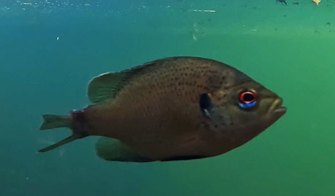
This spotted sunfish was chewed by something…

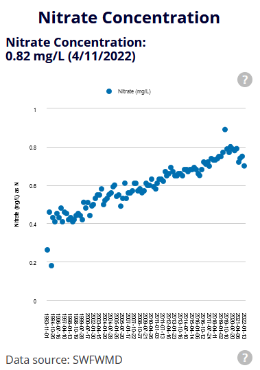
Unfortunately, Homosassa Springs is one of the Florida springs that has experienced dramatic and linear increases in nitrate loading, perhaps due to a combination of agricultural and residential land use. The Basin Management Action Plan (BMAP) produced for Homosassa Springs by the FL Department of Environmental Protection in 2018 cites farm fertilizer as the largest source of load (24%) followed by urban turfgrass (19%), septic systems (15%), and sports turfgrass (12%). Livestock waste also has contributed substantial nutrients to the springshed (11%). A variety of projects have been planned, including fertilizer application reductions, education programs, and transitioning homes from septic to sewer. Interestingly, the numbers appear to have dropped off in the last couple of years.

Wacissa River (springs) January-February 2024

People say that Florida has no seasons, but this photograph says winter to me. The photo is centered on the homemade diving platform at Big Blue Spring on the Wacissa River. The trees, usually so lush, have few leaves, the shadows are long, and the swimmers have been gone for months. Winter on Florida springs is peaceful.

The Wacissa River starts east and slightly south of Tallahassee. It flows through the Aucilla Wildlife Management Area, passing between the Flint Rock Wildlife Management Area and the Big Bend Water Management Area. The drive out to the spring winds through forests or, if coming from Tallahassee, the occasional pasture. About 12 miles downstream from the start of the Wacissa, the river joins the Aucilla River to flow into the Gulf at Apalachee Bay. Together, these two rivers have been categorized as an Outstanding Florida Water.

A map of the Big Bend region that it is the home of the Wacissa River. The yellow star indicates the location of the river’s origin; the red star indicates where the Wacissa joins the Aucilla.

Like the Chassahowitzka, the Wacissa is a river made of springs. It, too, starts with a small spring that feeds into a wide run that meanders to the Gulf, although its meander is roughly 3 times longer. The small spring at the start of the Wacissa, Horsehead Spring, is narrow, somewhat brown, and thick with plants. At the headspring, I could not see the vent at the bottom. The spring seemed more like a hole in the plants than the rocky crevice that was undoubtedly underneath the dark water.

Map showing the location of the first two springs, Horsehead Spring (orange star) and the larger vent downstream at the start of the river proper (blue star).

The headspring for Horsehead Spring (top) and light streaming down from the distortion made by my paddle at Horsehead headspring (bottom).

Once I left the Horsehead headspring, the trees converged over this lovely little spring run. The run was so filled with plants that I had to find holes in the plant cover to get a good enough field of view to film. Some of these plants were eelgrass (Vallisneria americana) and some were nonnative hydrilla (Hydrilla verticillata), as seen in the video below.

Shiners and bluefin killifish (Lucania goodei) streaming past the camera at the headspring of Horsehead Spring.

In this small spring, I was rewarded with a fish species new to me, the metallic shiner (Pteronotropis metallicus). Shiners are very hard to identify on film because many of the characters that are needed for a good identification are too small and obscure to see at a distance, but this species has a very wide black stripe on its side and a dark dorsal fin etched in white and orange on the outer edge. As they darted around the plants, the fish popped their dorsal fins up and down, inadvertently signalling to me their species.

Metallic shiners in Horsehead Spring run.

As soon as I floated out of Horsehead Spring, I found myself over a spring vent that I had not realized was there. It was large and dark, but provided substantial flow to the river. I noticed the spring as I floated over it because it, too, looked like a round hole in the plants. In fact, the whole river upstream was thick with plants; the plants were so thick that the birds were walking on them as if on land.

Eelgrass waving in the flow of the river (top) and a little blue heron (Egretta caerulea) standing on the thick hydrilla in the river (bottom).

This thick plant life, both native and nonnative, provided cover for small fish. In contrast to the Chassahowitzka, which had virtually no plants in the main river, lots of predators, and very few small fish, the Wacissa was teaming with small fish. Every video showed some combination of 30-50 shiners, killifish, and livebearers like mosquitofish (Gambusia holbrooki). Large predators, like largemouth bass (Micropterus salmoides) or longnose gar (Lepisosteus osseus) were relatively rare in the videos of either the main river or the many springs that fed into it along its upper length.

A rare group of three largemouth bass patrolling (top) and a largemouth bass scaring shiners into the vegetation (bottom). The shiners wink back into view after the bass moves along.

Flooding back into the forest also provided cover for fish. Hurricane Idalia passed over the area in August 2023 and the flood waters still had not completely receded in February 2024. Florida is so flat, its water table is so shallow, and there often is so much precipitation in the rainy season that floods can last a very long time. When the water penetrates back into the woods, the cypress knees and shrubs can provide extra cover from predators for small species.

The homemade diving platform above this knot of tree roots on Big Blue Spring suggests that it is likely on dry land in the summer when the floodwaters recede.

After I finished filming in the main river, I moved into some of the many springs that contribute water to the main flow: Big Blue, Little Blue, Buzzard Log, Garner, and Minnow.

Flooded forest (top) and duckweed (Lemna sp.) so thick that my kayak made a trail (bottom) in Minnow Spring.

I have been thinking lately about how small side springs and flooded forest might contribute to the overall diversity of larger systems. When I filmed back in the side springs of the Wacissa, many of the fish that I observed were the same species as in the main stem of the river. However, I also found some unique assemblages and species. Back in the side springs, I observed more least killifish (Heterandria formosa), our smallest fish species in Florida, than I have ever observed together. The specific epithet of this species references the family name of ants, Formicidae, undoubtedly because of their small size. I also observed a chain pickerel (Esox niger), a large predatory species that I have only caught on camera once in all of the video that I have collected to date.

Tiny least killifish above the slightly larger shiners at Minnow Spring (top) and a chain pickerel at Garner Spring (bottom). The camera at Minnow spring was back in the flooded forest and there was a lot of dissolved and particulate “stuff” in the water. The camera a Garner Spring captured a lot of live and dead algae and plants.

And much to my surprise, I also caught an entirely new type of organism for me: an eastern newt (Notophthalmus viridescens). This animal has a relatively unique life history, with a juvenile aquatic stage, followed by a juvenile terrestrial stage, and finally an adult aquatic stage (https://nationalzoo.si.edu/animals/eastern-newt). Given that I collected the video of this species at two different locations (right off the boat ramp and in Big Blue Spring), it is likely that there are a lot of newts in the system.

Eastern newts in Wacissa River springs.

The fact that the Wacissa River flows through Wildlife Management Areas likely contributes to its good water quality. The nitrate concentrations published by the US Geological Survey are among the lowest that I have observed for Florida springs (0.16-0.33 mg/L). The dissolved oxygen concentrations they published are relatively high (4.9-8.3 mg/L) and my measurements were in a similar range. The conductivity of the river and its springs, both published data and my data, are much lower (0.26-0.30 mS/cm) than what I measured in some of the Chassahowitzka springs (5-10 mS/cm), undoubtedly due to the greater distance between the Wacissa springs and the Gulf. Conductivity is a measure of ion concentrations in water, kind of the freshwater version of salinity. Salinity is a measure of sodium and chloride, whereas conductivity encompasses the broader range of ions typical of freshwater. To give some context, the conductivity of sea water is 3-6 S/cm, so several orders of magnitude higher than in the saltiest springs that I have measured. It is likely that the lower conductivity and the greater distance to the Gulf explains the exclusively freshwater assemblage that I observed on the Wacissa in contrast to the Chassahowitzka.

Chassahowitzka River (springs), January 2024

The springs that produce the Chassahowitzka River provided a perfect start to my new spring survey: springs that flow into the gulf, either directly or indirectly.

Chassahowitzka is situated on the “Nature Coast” between Homosassa Springs to the north and Weeki Wachee to the south, both of which are probably more famous to people from outside of Florida (posts on those two spring systems later).

To locals, however, the Chassahowitzka is famous for Seven Sisters Springs, which is a cave system near the start of the river. These seven interconnected caves are startlingly blue holes in a small landscape of rounded black and grey exposed limestone. Like the other springs of Florida, the limestone eroded unevenly over time to produce these “solution” holes.

The first of the seven sisters and, although I did brighten this photo, they really do look this blue.

The limestone rock formation that forms the Seven Sisters. I took this photo looking down the run from the cave in the first photo.

The Seven Sisters caves are home to a variety of freshwater and salt tolerant fish, such as spotted sunfish (Lepomis punctatus), grey snapper (Lutjanus griseus), and Atlantic needlefish (Strongylura marina).

Spotted sunfish (left) and grey snapper (right) with more grey snapper under the overhanging wall of the cave.

A needlefish in front of one of the caves. Needlefish were among the most prevalent fish in the survey of Chassahowitzka springs.

Although the Sisters are the most famous feature of the spring system, the flow actually starts in several spots.

This zoomed in map shows the multiple water sources that produce the Chassahowitzka River. The star shows the location of the Seven Sisters.

First, a beautiful little creek flows into the Seven Sisters. I tried to paddle up it with a friend a few years ago when the Seven Sisters was covered in brown water, obscuring them. During the rainy season, the water level can rise and the clear water can be covered tannin-stained runoff water. We did not get very far because it is blocked by many fallen trees.

The creek that flows into Seven Sisters, both above (top) and below (bottom) the water level.

A second source source of water to the river is a neighborhood of canals. A third source of water is the big main vent just downstream of the confluence of the Seven Sisters run and the canals. This big vent is just off of the boat ramp.

The view looking upstream from the vicinity of the public boat ramp. The first house in the neighborhood is just visible and the Seven Sisters is around the corner to the left.

The water flowing out of the neighborhood was very turbid, so water clarity was much lower and it was very hard to make out this large vent. However, I could just barely make out Crevalle jacks (Caranx hippos), sheepshead (Archosargus probatocephalus), needlefish, more grey snapper. These fish are all salt tolerant, but I also saw largemouth bass (Micropterus salmoides) and more spotted sunfish. Alas, my photos from the vent are not great due to the turbidity.

Crevalle jacks (top) and sheepshead (bottom) in and around the big main vent at the start of the Chassahowitzka River.

The warm water issuing from these three water sources attracted many manatees, which were all resting in the shallow water across from the boat ramp in the morning.

The last source of water to the start of the Chassahowitzka River is Crab Spring. The spring run was very shallow and the water flowed so fast that after paddling and not gaining ground, I got out and pulled my boat for part of the run.

Crab Spring run.

Unlike the other upstream areas, this run was loaded with plants and when I got to the headspring, the plants were covered in rusty deposits, probably iron. Surprisingly, the large headspring was loaded with fish: sunfish, bass (big ones!), and more needlefish.

Bass in Crab Spring with rusty algae below.

As I floated back downstream, I took a minute to film in a little hole in the plants at the side of the run and was rewarded with some of the few small fish that I observed on the river.

Sailfin mollies (Poecilia latipinna) near the surface and a rainwater killifish (Lucania parva) near the bottom. This shot is not amazing, but it was interesting how scarce the small fish were other than in this little protected area in the algae.

After leaving Crab Spring, I floated downstream towards Baird Creek and “The Crack”. Along the way, I stopped in the “Snapper Hole”, which is a little pool along the Chassahowitzka run. It had even lower water clarity than the main vent, so I decided not to video there. However, as I floated in the middle of the pool, I realized that I was surrounded by manatees. It was a peaceful little interlude to the work.

My last stop on my Chassahowitzka survey was Baird Creek, given my love of sandy creeks with tree canopy, it was a highlight, for sure. It is pretty right off the River, but it gets much more special up near “The Crack”.

The lower run of Baird Creek (top) and the upper portion near “The Crack” (bottom). It started raining a little as I paddled and the spring started steaming.

“The Crack” itself also was a bit murky, but I was happy to see some different fish there: tidewater mojarra (Eucinostomus harengulus) and gulf killifish (Fundulus grandis). I also saw more sunfish, bass, sailfin mollies, and of course, needlefish.

“The Crack” with a rope swing to jump into the vent.

Tidewater mojarra (top) and gulf killifish (bottom)

In addition to the manatees and fish, I was also joined on this trip by a variety of other animals. I got a few shots of fun birds on the trip, although the only photo that I actually liked was this little blue heron (Egretta caerulea).

Now I will make a note about the water quality. First, the goal of this study is to learn about how saltwater connections affect spring fish assemblages. I definitely recorded many salt tolerant fish in this spring system, which was fun and gratifying. However, the pattern of conductivity (a measure of the number of ions, including NaCl salt like in the ocean) is not clear to me. The ion concentration in the vicinity of the Seven Sisters and the main vent was very low, typical of freshwater, but the ion concentration at Crab Spring was 1/5 of seawater. The Crab Spring vent was only on the order of 100 m away from Seven Sisters, so I have some research to do about the “plumbing” underneath the Chassahowitzka. The conductivity of Baird Creek was even a little higher than that of Crab Spring.

The patterns of conductivity are interesting to think about and not necessarily related to human intervention. The turbidity coming out of the neighborhood of canals upstream of the main vent is much more likely to be related to those houses and other development to the east of Chassahowitzka. Although the land to the west of the springs is preserved as wildlife management area, outstanding Florida water, etc., the land to the east is thickly developed. The turbidity is likely a combination of inorganic particulates (just look at all the stuff floating past the manatees) and algae. Based on USGS data, the nitrate concentrations are not super high, roughly on the order of 0.5 mg/L, which is above background for many springs, but not nearly as high as I have seen on some other springs. I also looked for changes in discharge and salinity. It appears that over the period of record (1997 to now), discharge has increased slightly, in contrast to many other big springs in the center of the state. The influence of the proximal Gulf likely affects the pressure in the aquifer under Chassahowitzka, keeping the discharge high. The period of record for salinity was super short (2016 to now), but there was a negative relationship between discharge and salinity over this really, really short record. More to come…