The springs that produce the Chassahowitzka River provided a perfect start to my new spring survey: springs that flow into the gulf, either directly or indirectly.
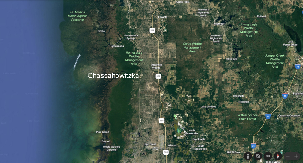
Chassahowitzka is situated on the “Nature Coast” between Homosassa Springs to the north and Weeki Wachee to the south, both of which are probably more famous to people from outside of Florida (posts on those two spring systems later).
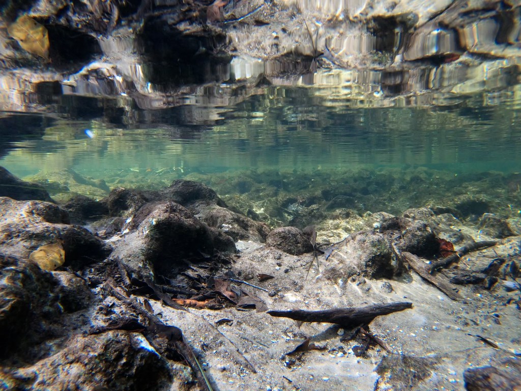
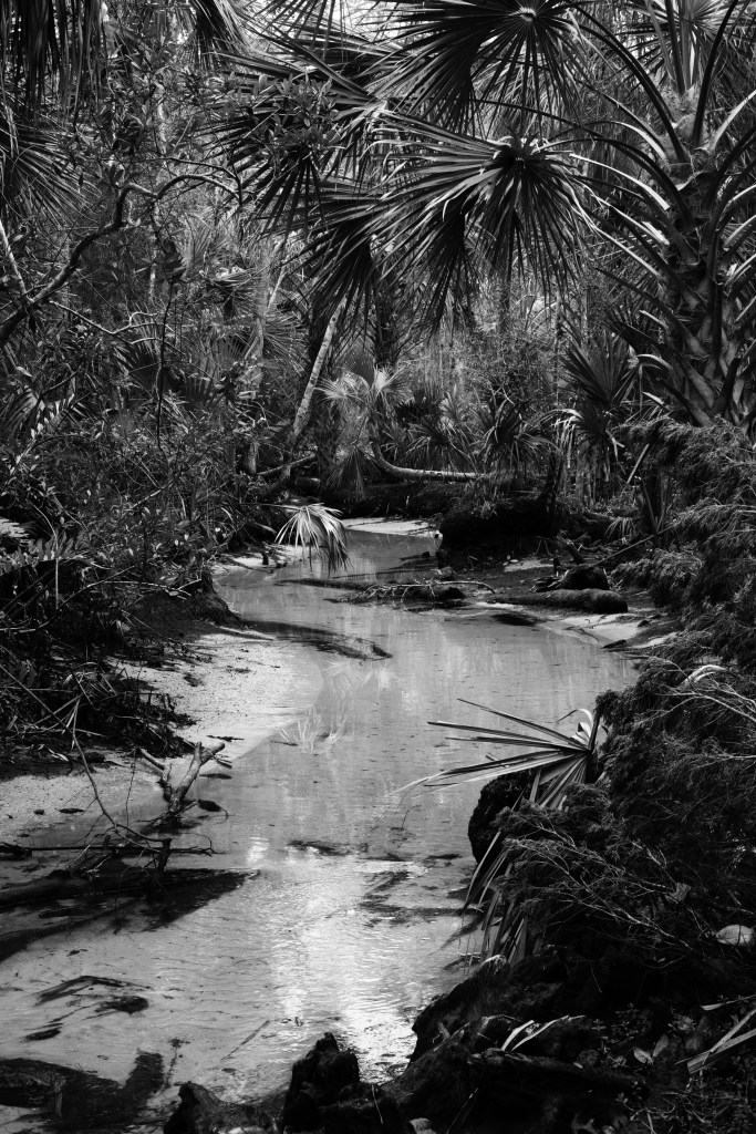
To locals, however, the Chassahowitzka is famous for Seven Sisters Springs, which is a cave system near the start of the river. These seven interconnected caves are startlingly blue holes in a small landscape of rounded black and grey exposed limestone. Like the other springs of Florida, the limestone eroded unevenly over time to produce these “solution” holes.

The first of the seven sisters and, although I did brighten this photo, they really do look this blue.
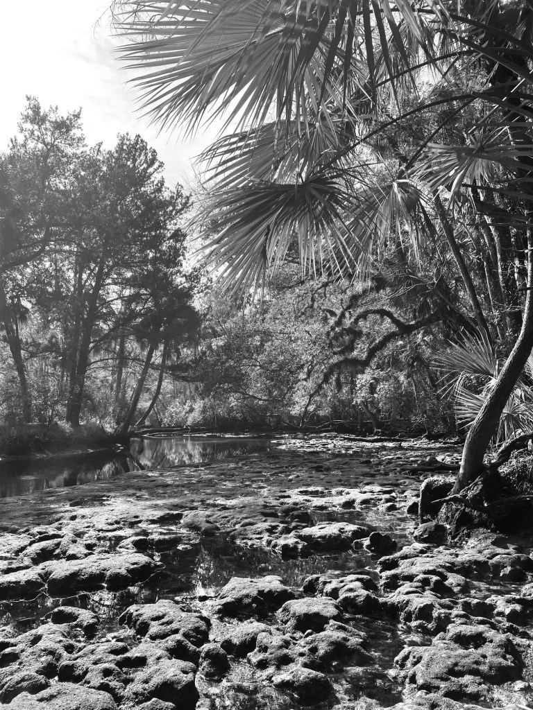
The limestone rock formation that forms the Seven Sisters. I took this photo looking down the run from the cave in the first photo.
The Seven Sisters caves are home to a variety of freshwater and salt tolerant fish, such as spotted sunfish (Lepomis punctatus), grey snapper (Lutjanus griseus), and Atlantic needlefish (Strongylura marina).
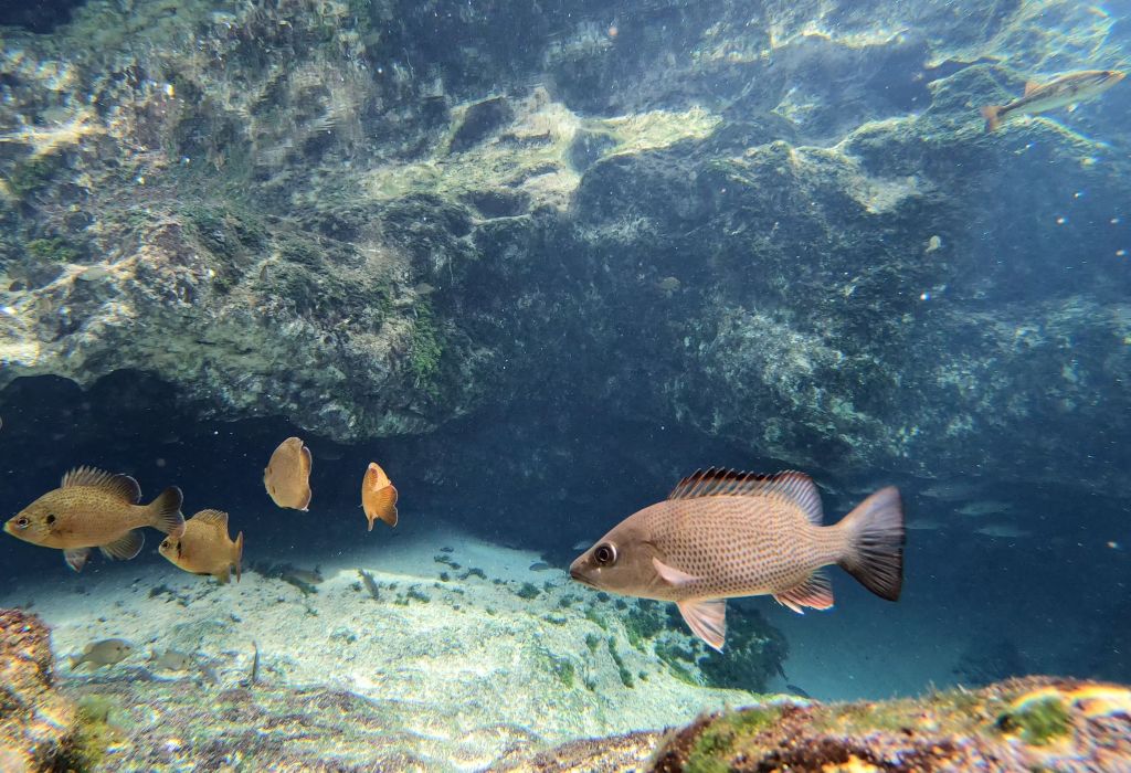
Spotted sunfish (left) and grey snapper (right) with more grey snapper under the overhanging wall of the cave.
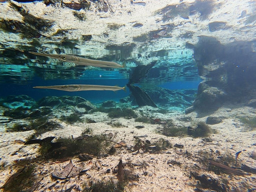
A needlefish in front of one of the caves. Needlefish were among the most prevalent fish in the survey of Chassahowitzka springs.
Although the Sisters are the most famous feature of the spring system, the flow actually starts in several spots.
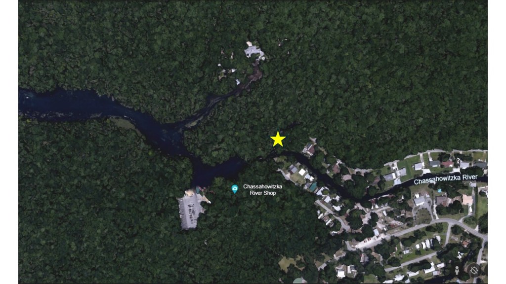
This zoomed in map shows the multiple water sources that produce the Chassahowitzka River. The star shows the location of the Seven Sisters.
First, a beautiful little creek flows into the Seven Sisters. I tried to paddle up it with a friend a few years ago when the Seven Sisters was covered in brown water, obscuring them. During the rainy season, the water level can rise and the clear water can be covered tannin-stained runoff water. We did not get very far because it is blocked by many fallen trees.
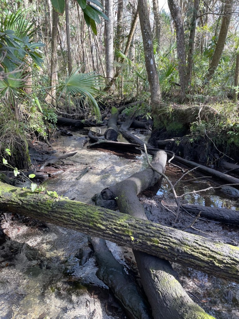
The creek that flows into Seven Sisters, both above (top) and below (bottom) the water level.
A second source source of water to the river is a neighborhood of canals. A third source of water is the big main vent just downstream of the confluence of the Seven Sisters run and the canals. This big vent is just off of the boat ramp.
The view looking upstream from the vicinity of the public boat ramp. The first house in the neighborhood is just visible and the Seven Sisters is around the corner to the left.
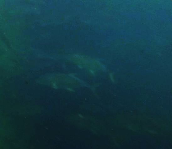
The water flowing out of the neighborhood was very turbid, so water clarity was much lower and it was very hard to make out this large vent. However, I could just barely make out Crevalle jacks (Caranx hippos), sheepshead (Archosargus probatocephalus), needlefish, more grey snapper. These fish are all salt tolerant, but I also saw largemouth bass (Micropterus salmoides) and more spotted sunfish. Alas, my photos from the vent are not great due to the turbidity.
Crevalle jacks (top) and sheepshead (bottom) in and around the big main vent at the start of the Chassahowitzka River.
The warm water issuing from these three water sources attracted many manatees, which were all resting in the shallow water across from the boat ramp in the morning.
The last source of water to the start of the Chassahowitzka River is Crab Spring. The spring run was very shallow and the water flowed so fast that after paddling and not gaining ground, I got out and pulled my boat for part of the run.

Crab Spring run.
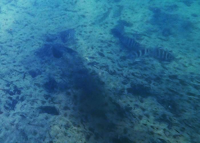
Unlike the other upstream areas, this run was loaded with plants and when I got to the headspring, the plants were covered in rusty deposits, probably iron. Surprisingly, the large headspring was loaded with fish: sunfish, bass (big ones!), and more needlefish.

Bass in Crab Spring with rusty algae below.
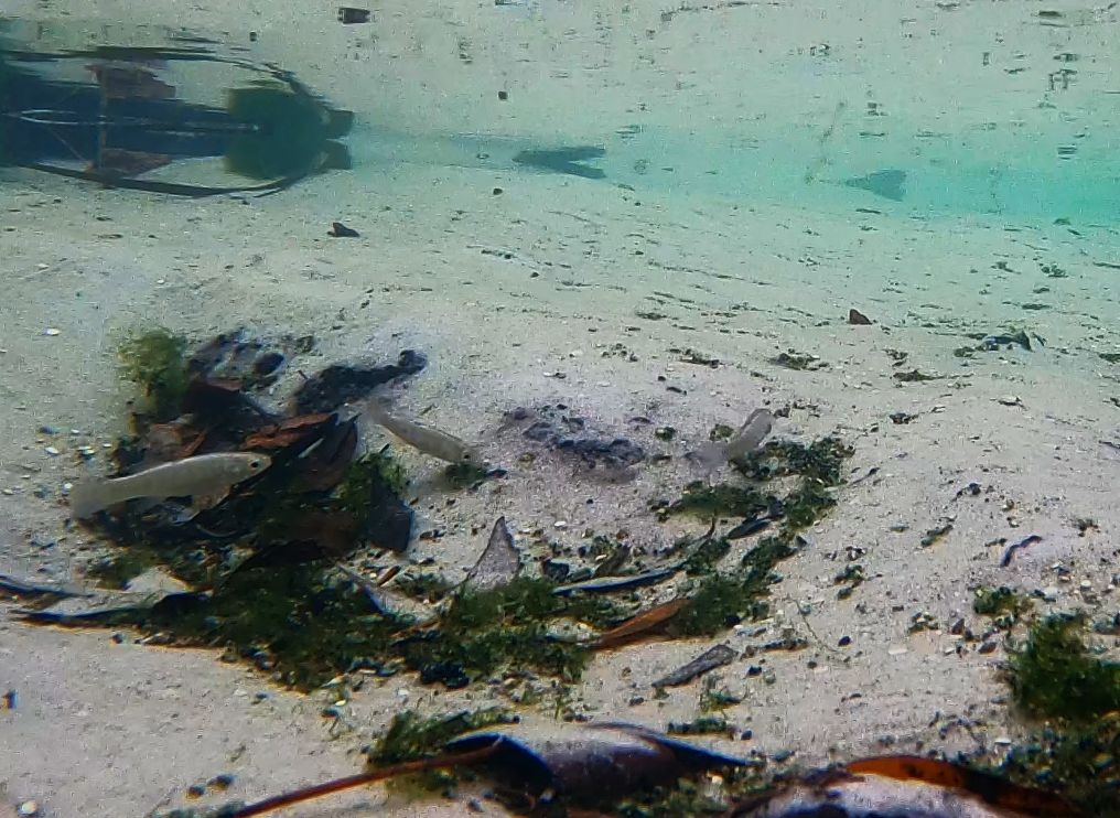
As I floated back downstream, I took a minute to film in a little hole in the plants at the side of the run and was rewarded with some of the few small fish that I observed on the river.
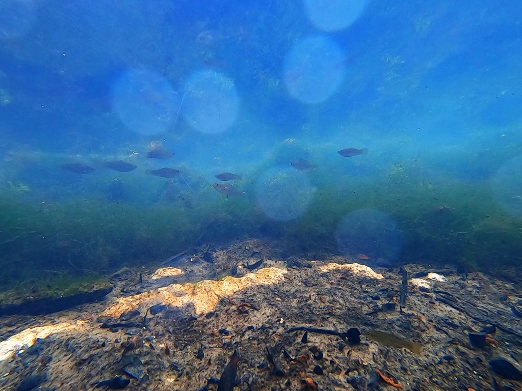
Sailfin mollies (Poecilia latipinna) near the surface and a rainwater killifish (Lucania parva) near the bottom. This shot is not amazing, but it was interesting how scarce the small fish were other than in this little protected area in the algae.
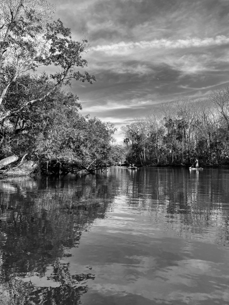
After leaving Crab Spring, I floated downstream towards Baird Creek and “The Crack”. Along the way, I stopped in the “Snapper Hole”, which is a little pool along the Chassahowitzka run. It had even lower water clarity than the main vent, so I decided not to video there. However, as I floated in the middle of the pool, I realized that I was surrounded by manatees. It was a peaceful little interlude to the work.
My last stop on my Chassahowitzka survey was Baird Creek, given my love of sandy creeks with tree canopy, it was a highlight, for sure. It is pretty right off the River, but it gets much more special up near “The Crack”.
The lower run of Baird Creek (top) and the upper portion near “The Crack” (bottom). It started raining a little as I paddled and the spring started steaming.
“The Crack” itself also was a bit murky, but I was happy to see some different fish there: tidewater mojarra (Eucinostomus harengulus) and gulf killifish (Fundulus grandis). I also saw more sunfish, bass, sailfin mollies, and of course, needlefish.
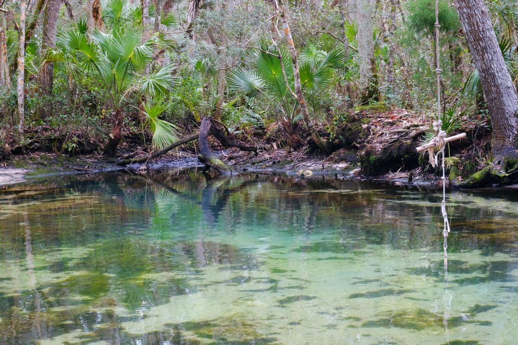
“The Crack” with a rope swing to jump into the vent.

Tidewater mojarra (top) and gulf killifish (bottom)
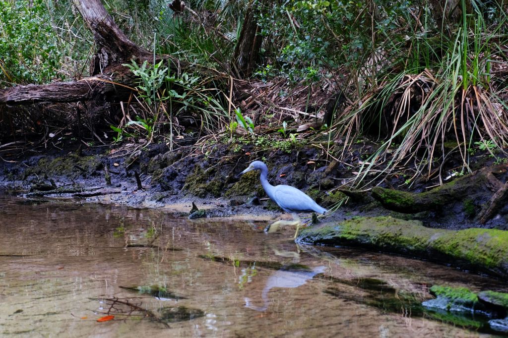
In addition to the manatees and fish, I was also joined on this trip by a variety of other animals. I got a few shots of fun birds on the trip, although the only photo that I actually liked was this little blue heron (Egretta caerulea).
Now I will make a note about the water quality. First, the goal of this study is to learn about how saltwater connections affect spring fish assemblages. I definitely recorded many salt tolerant fish in this spring system, which was fun and gratifying. However, the pattern of conductivity (a measure of the number of ions, including NaCl salt like in the ocean) is not clear to me. The ion concentration in the vicinity of the Seven Sisters and the main vent was very low, typical of freshwater, but the ion concentration at Crab Spring was 1/5 of seawater. The Crab Spring vent was only on the order of 100 m away from Seven Sisters, so I have some research to do about the “plumbing” underneath the Chassahowitzka. The conductivity of Baird Creek was even a little higher than that of Crab Spring.
The patterns of conductivity are interesting to think about and not necessarily related to human intervention. The turbidity coming out of the neighborhood of canals upstream of the main vent is much more likely to be related to those houses and other development to the east of Chassahowitzka. Although the land to the west of the springs is preserved as wildlife management area, outstanding Florida water, etc., the land to the east is thickly developed. The turbidity is likely a combination of inorganic particulates (just look at all the stuff floating past the manatees) and algae. Based on USGS data, the nitrate concentrations are not super high, roughly on the order of 0.5 mg/L, which is above background for many springs, but not nearly as high as I have seen on some other springs. I also looked for changes in discharge and salinity. It appears that over the period of record (1997 to now), discharge has increased slightly, in contrast to many other big springs in the center of the state. The influence of the proximal Gulf likely affects the pressure in the aquifer under Chassahowitzka, keeping the discharge high. The period of record for salinity was super short (2016 to now), but there was a negative relationship between discharge and salinity over this really, really short record. More to come…

Maybe there should be a book that comes out of this? Scientific observations and interpretation + very nice photos.
LikeLike
Thank you! I’ve thought about it 🙂
LikeLike