February 2024

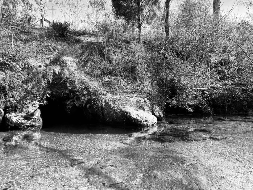
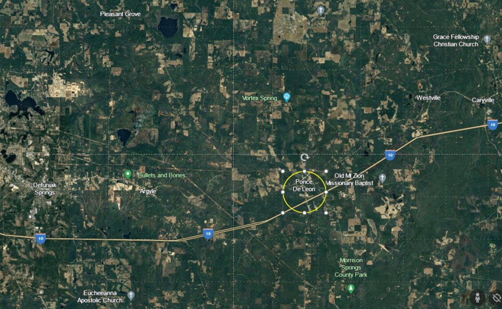
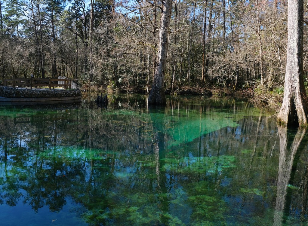
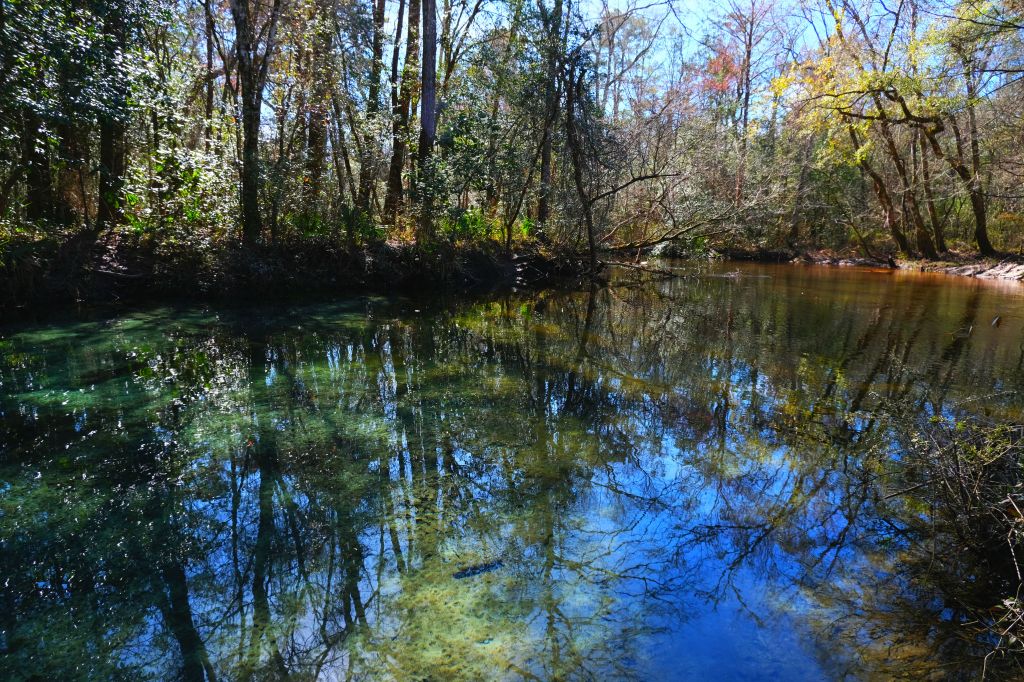
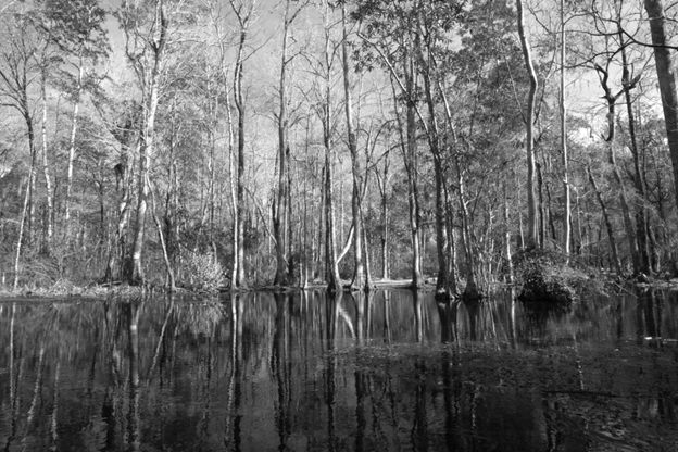
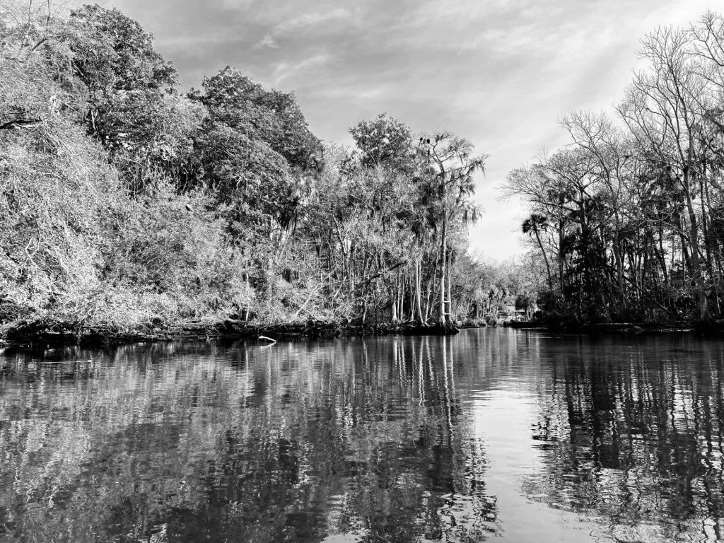
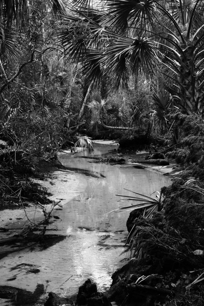
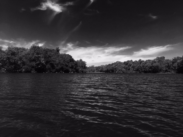
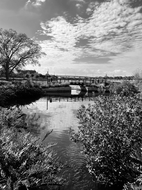
The Hillsborough River springs were about as different from the Econfina Creek springs as Florida springs could be. Whereas the Econfina Creek springs were somewhat wild and remote, the Hillsborough River springs were city springs with echoes of swimmers and picnickers past and whispers of visitors future. All three springs have exceedingly short runs that flow into the lower half of the Hillsborough River in the heart of Tampa.
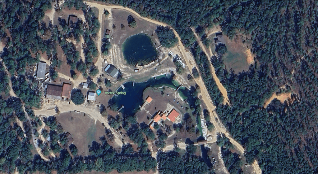
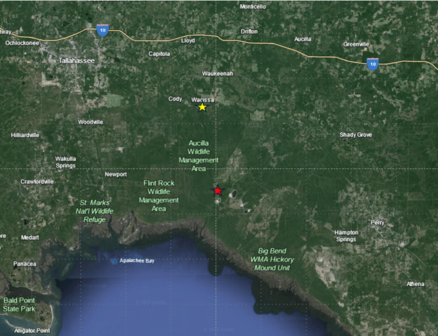
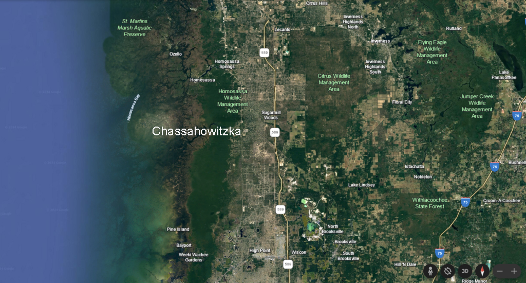
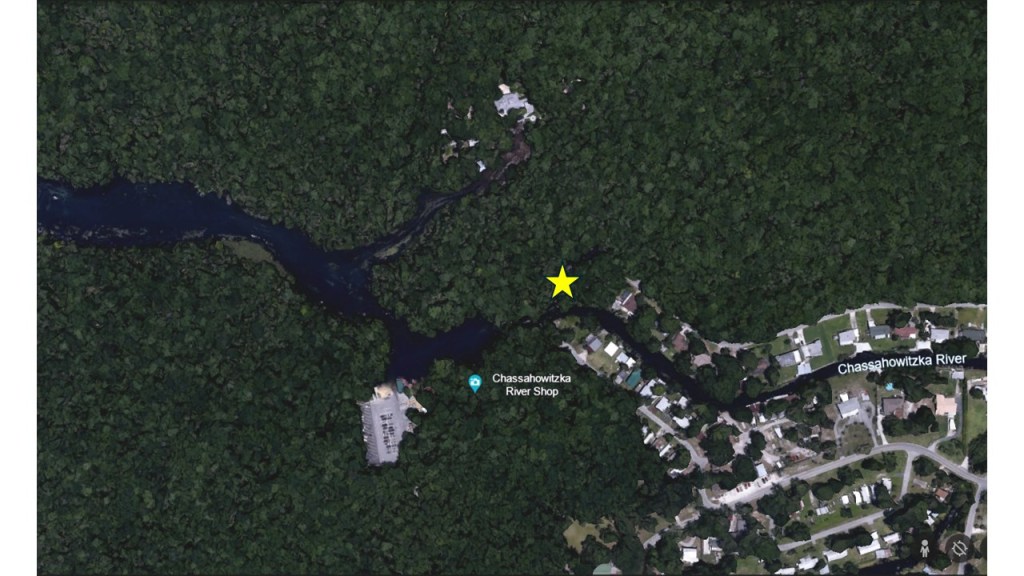
The location of the three springs (Sulphur, Purity, and Ulele, right to left) in the Tampa metro area.
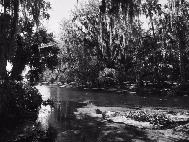
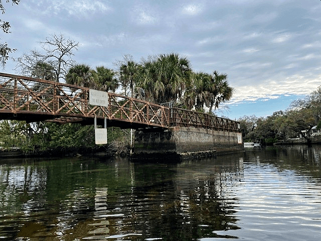
Sulphur Spring
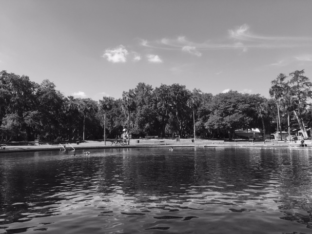
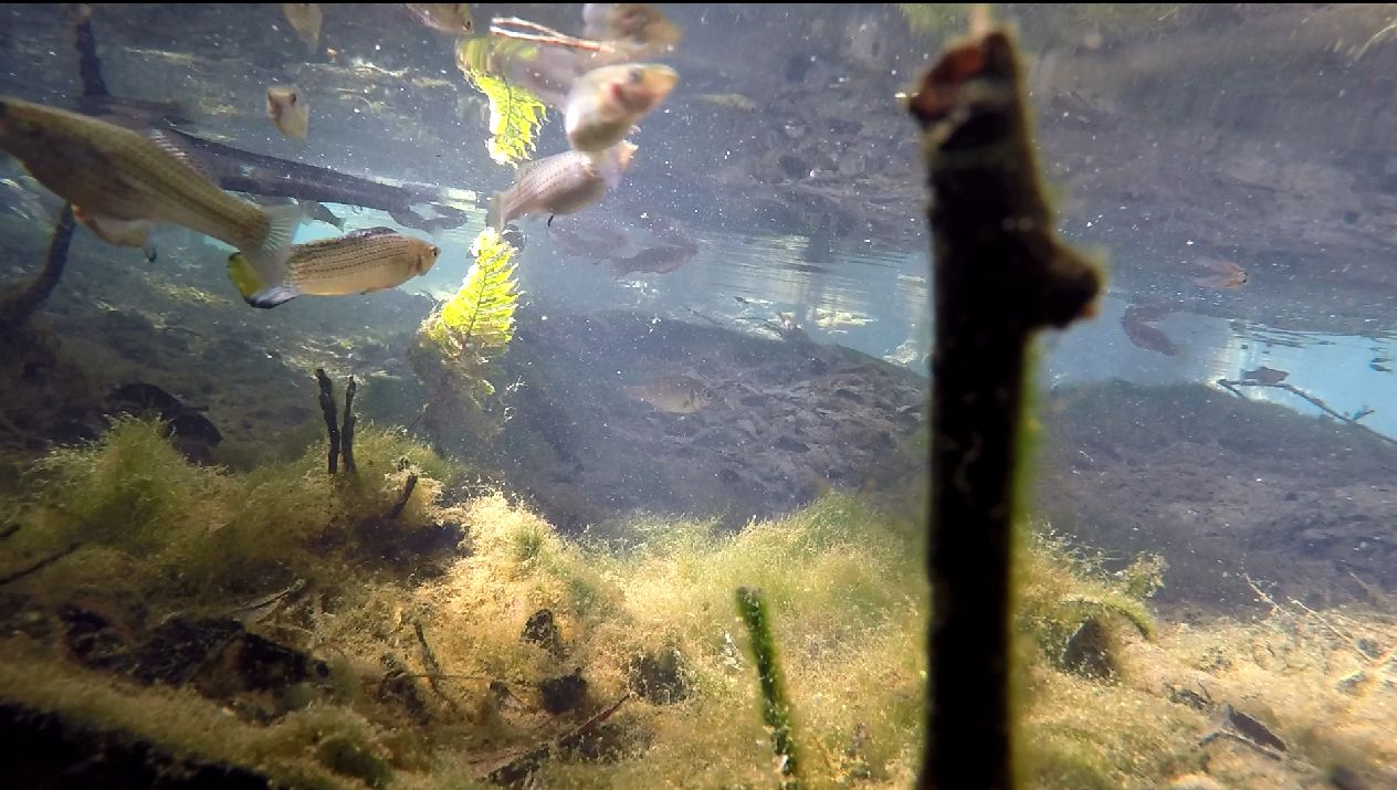
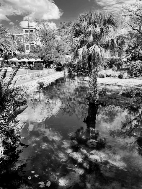
I visited Sulphur Spring first, after securing a permit from some very nice people at Film Tampa Bay (I thought that process was funny because the group issues permits for companies making feature films and whatnot). The park hosts two large pools. One is a round pool of spring water that fills the run through a dam. The other looks like a regular swimming pool. From the round pool, after the water goes through the dam, it travels down a short run and into the Hillsborough River. The banks of the run are partially constrained by cement and metal walls and other park structures.

The spring issues from somewhere under the round pool and the water shoots through a huge dam, marked by a red arrow, into the run below, which enters the river at the yellow arrow.
The dam on Sulphur Spring.
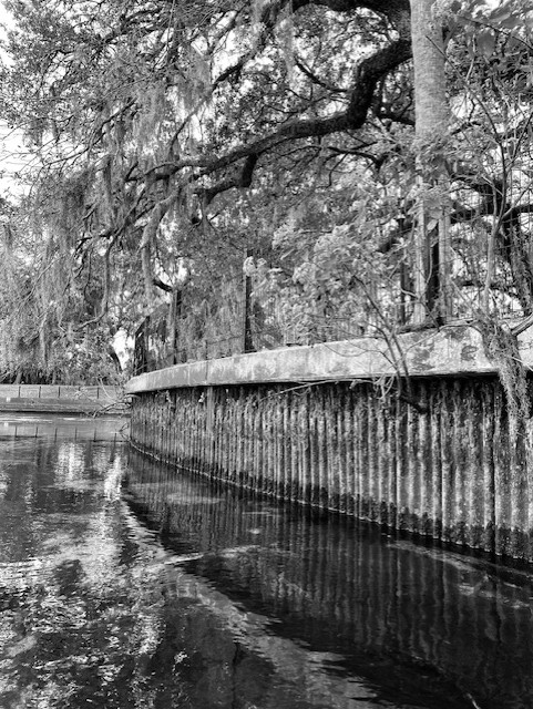
The corroded retaining wall along the upper part of the run across from the large dam.
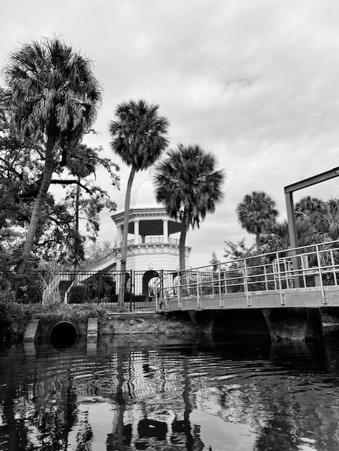
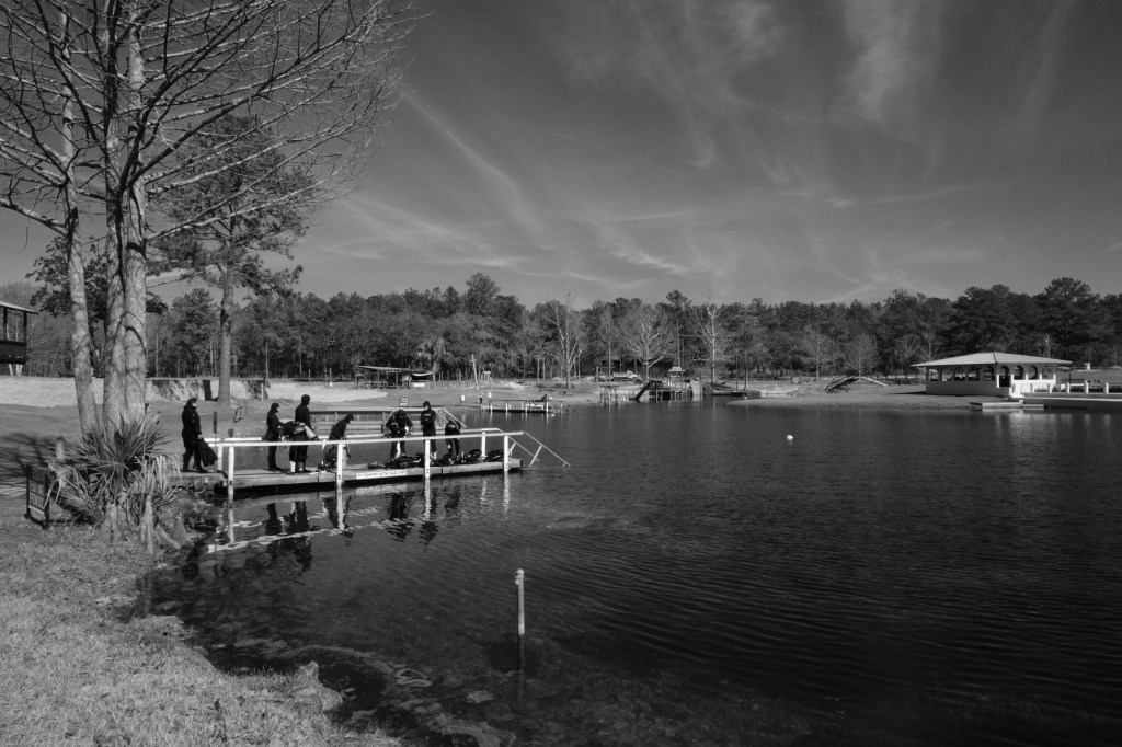
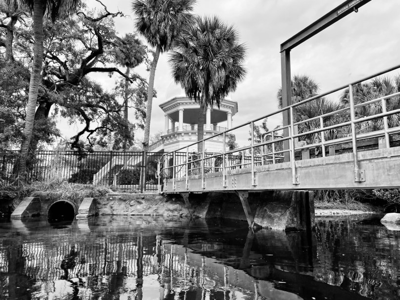
A bridge and gazebo about halfway down the run.
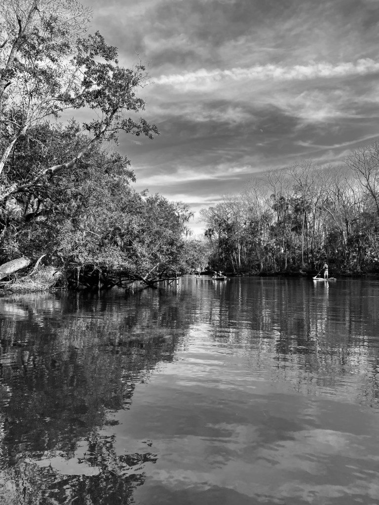
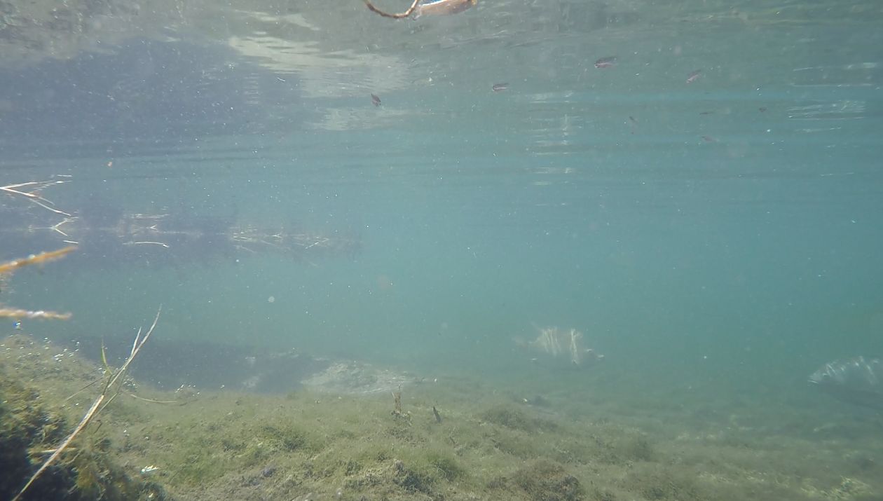
Because it was the off season, the park was locked up tight, so I put my boat in at the river just below the spring. As I launched, I noticed some crab carapaces among the rocks, which was encouraging as I was hoping to find salt-tolerant fish in the run. Fortunately, I was able to paddle up the run from the river, passing some manatees resting in the warm outflow in the early morning.
Manatees just visible in the spring’s outflow.
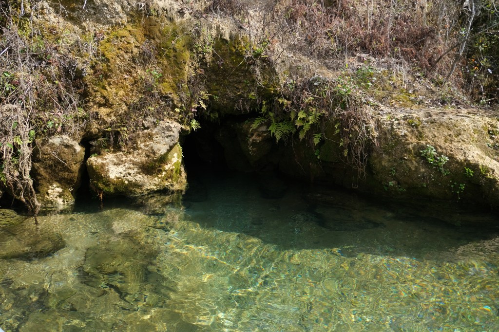
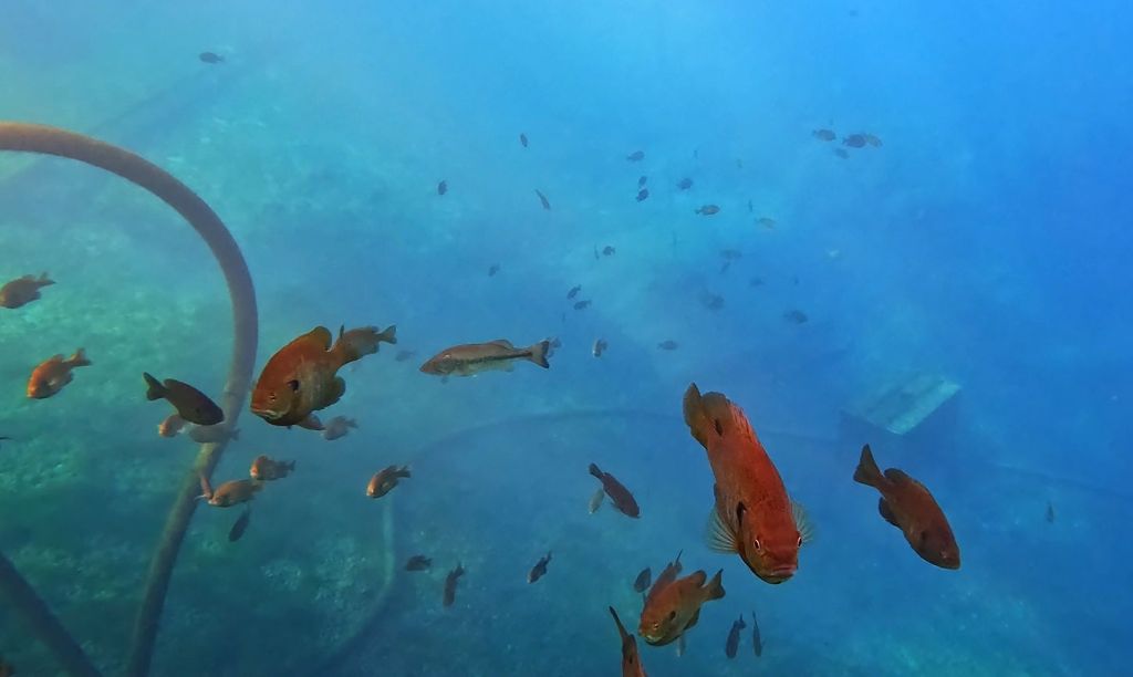
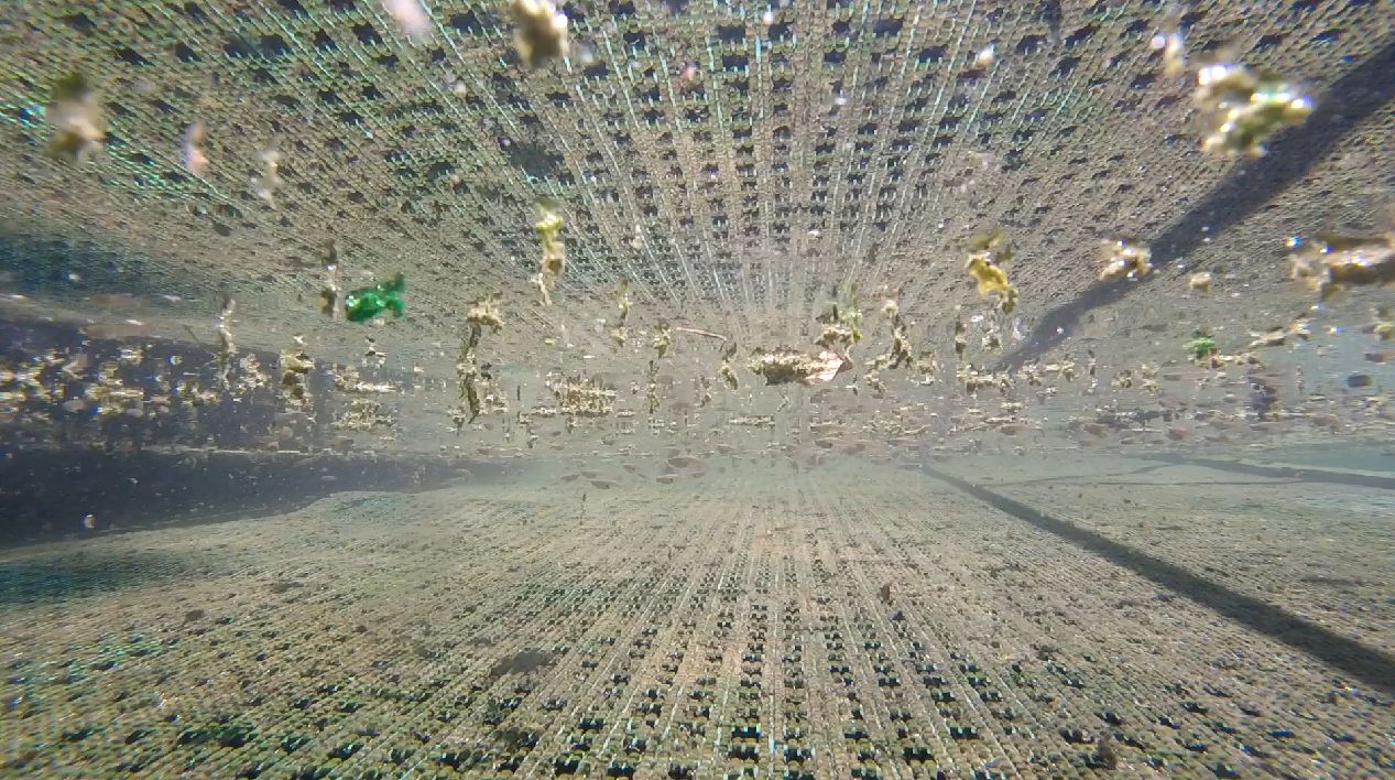
The water flowing over the dam produced a plunge pool of deeper water, but the remainder of the run was quite shallow. It appeared that exotic tilapia were nesting in deeper water of the pool. Male tilapia build nests by excavating sand with their mouths. They defend these nests during breeding season, waiting for females to come deposit their eggs. However, the nests that I saw in Sulphur Spring appeared to be empty.

A likely tilapia nest in the plunge pool.
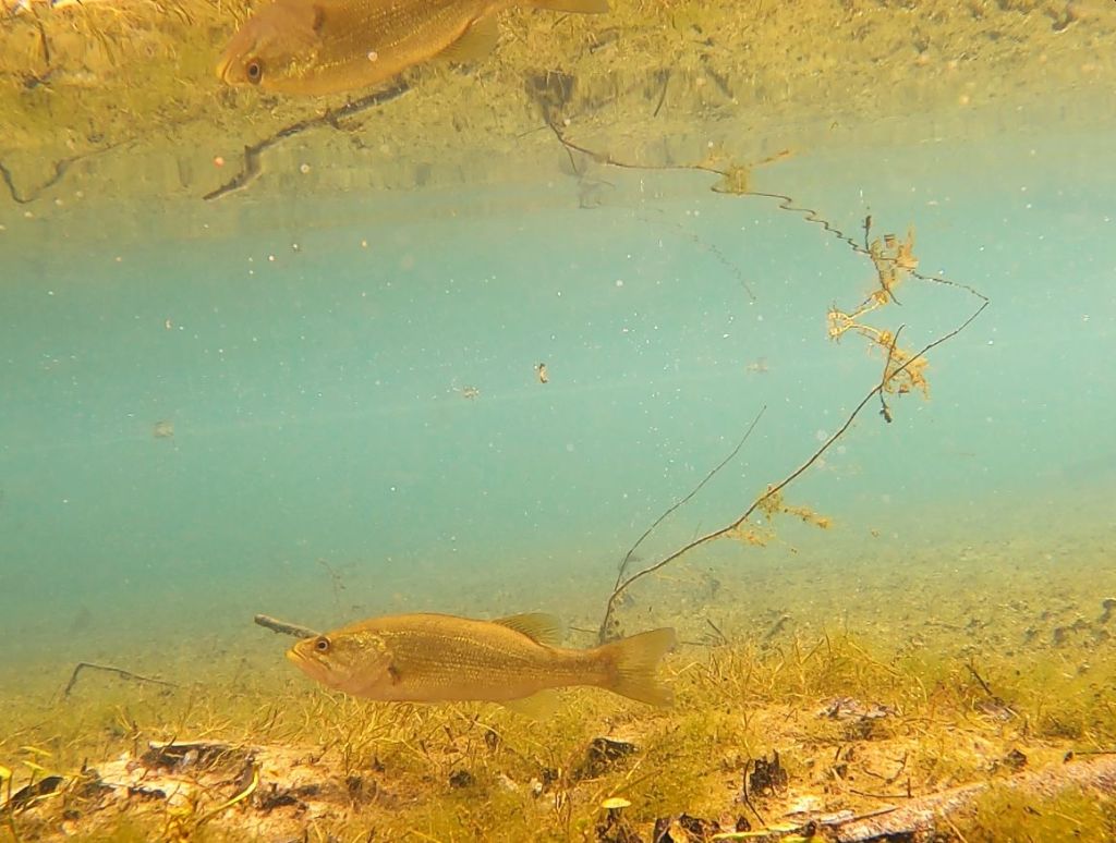
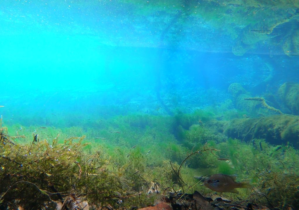
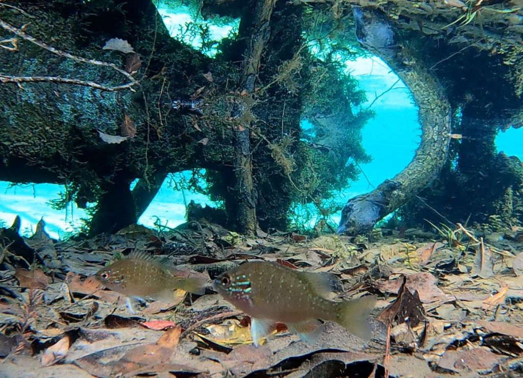
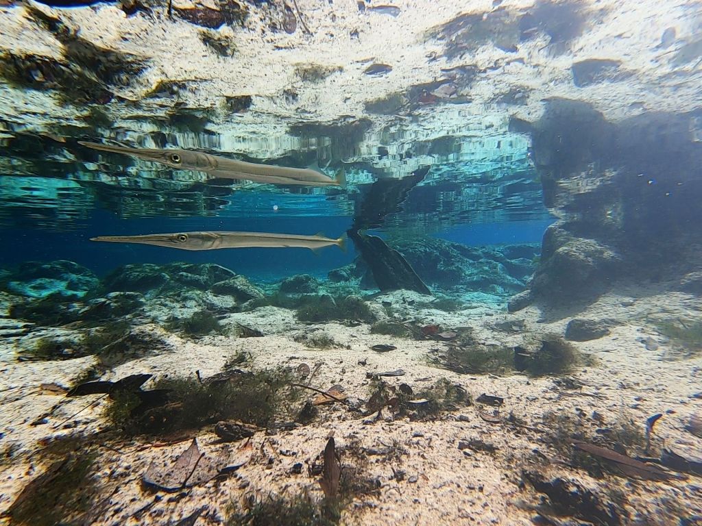
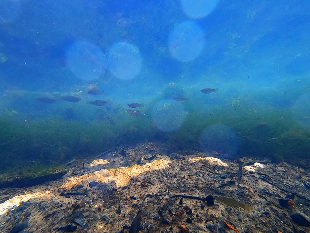
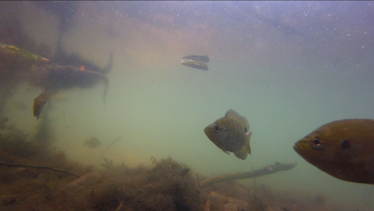
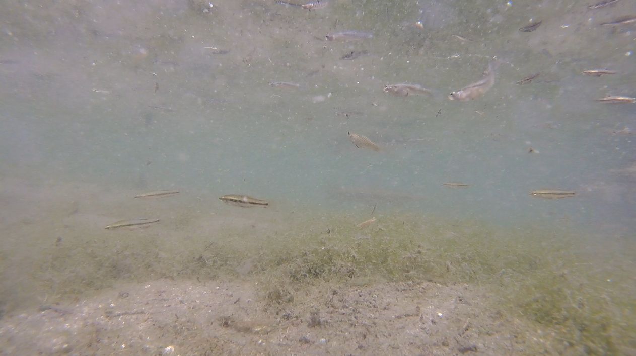
Throughout this 2024 version of the project, I have been looking for differences in fish assemblages between springs that are proximal to salt water and springs that are not. All of the fish that I observed in this spring were either salt tolerant or exotic. Of the native freshwater fish that I observed, they were all either mosquitofish (Gambusia holbrooki), which can live nearly anywhere that is not full sea water, or rainwater killifish (Lucania parva), which tend to occur near coasts in water with higher conductivity (the freshwater version of measuring salinity). Rainwater killifish are fun because they can change hue with their background, appearing almost white over sand or mottled brown over leaves. Over the algal background in Sulphur Spring, they looked mottled, but not very dark.
Rainwater killifish chasing each other in territorial displays.
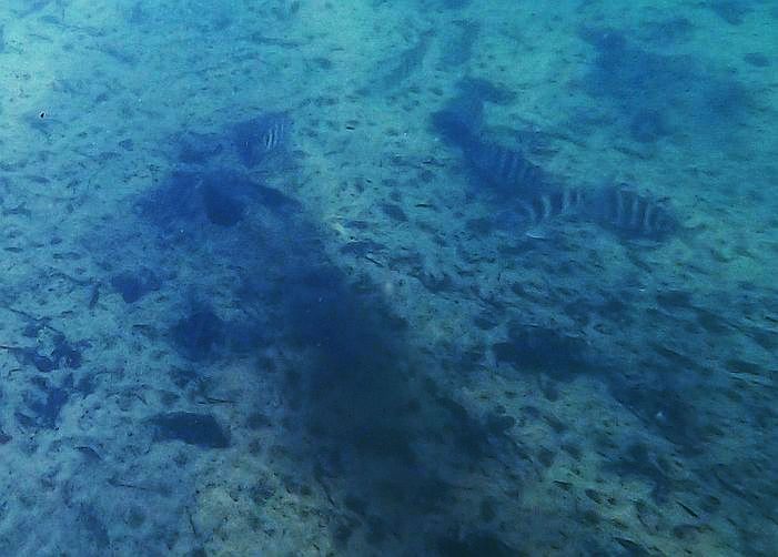
Sulphur Spring also hosted a fair number of salt tolerant fish, including striped mullet (Mugil cephalus), tidewater mojarra (Euchinostomus harengulus), and Atlantic needlefish (Strongylura marina).
Some mullet that I startled as they were coming up into the run.
Tidewater mojarra darting around with the rainwater killifish.

An Atlantic needlefish. The water clarity was a bit low, so it blends into the background.
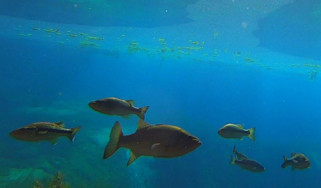
This spring was my first experience with the dense exotic fish populations in the Tampa area. Having worked on exotic aquatic organisms for decades, I have looked at maps of exotic fish distributions on the USGS Nonindigenous Aquatic Species website. Even so, I was not prepared for the scale of the issue. If I were to evaluate the biomass (number of fish multiplied by the average weight of a fish) of native and exotic fish in Sulphur Spring, the exotic fish would far outweigh the native fish, I am quite sure. And in Sulphur Spring, they were all blackchin tilapia (Sarotherodon melanotheron).
A video of blackchin tilapia sped up 500 times.

The color patterns on the blackchin tilapia were highly variable. Some were almost all silver, some had golden sections on their sides, and some had spots in various places around their heads.
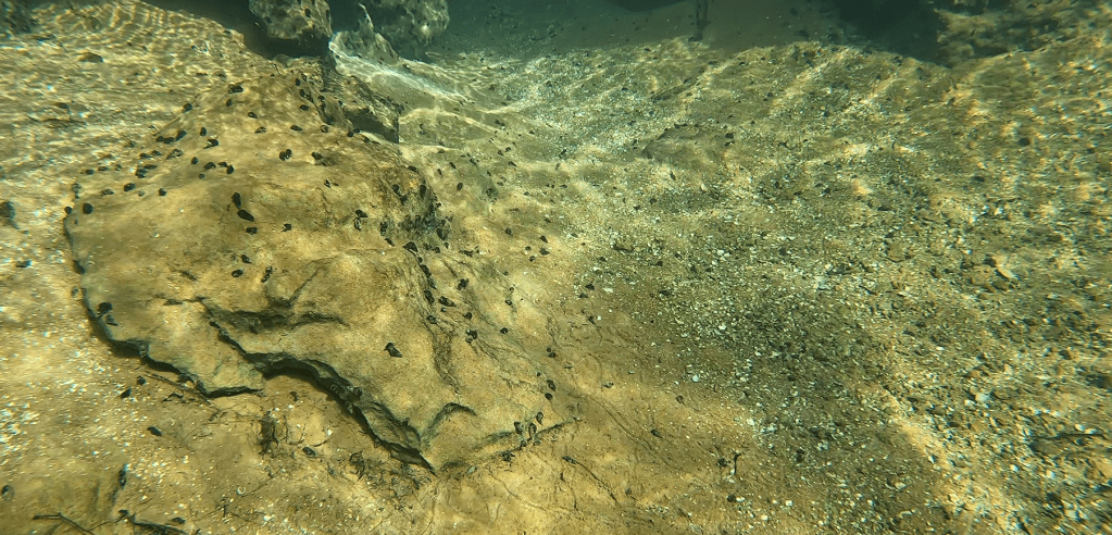
In addition to exotic fish, Sulphur Spring hosted loads of exotic snails: quilted melania (Tarebia granifera). These snails occur throughout Florida. No doubt other snails occur in the run as well, but their numbers would have been swamped by the hugely abundant quilted melania, I suspect.


Snails dotting the Sulphur Spring run (top) and a close up of the species: quilted melania (bottom).
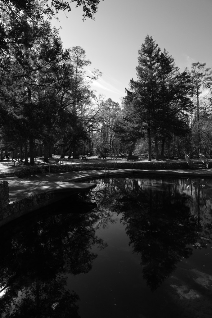
On my way out of the spring, I stopped to take a look at the recreational area of the park.

The swimming pool features a large pink frog (?) and a yellow water slide.
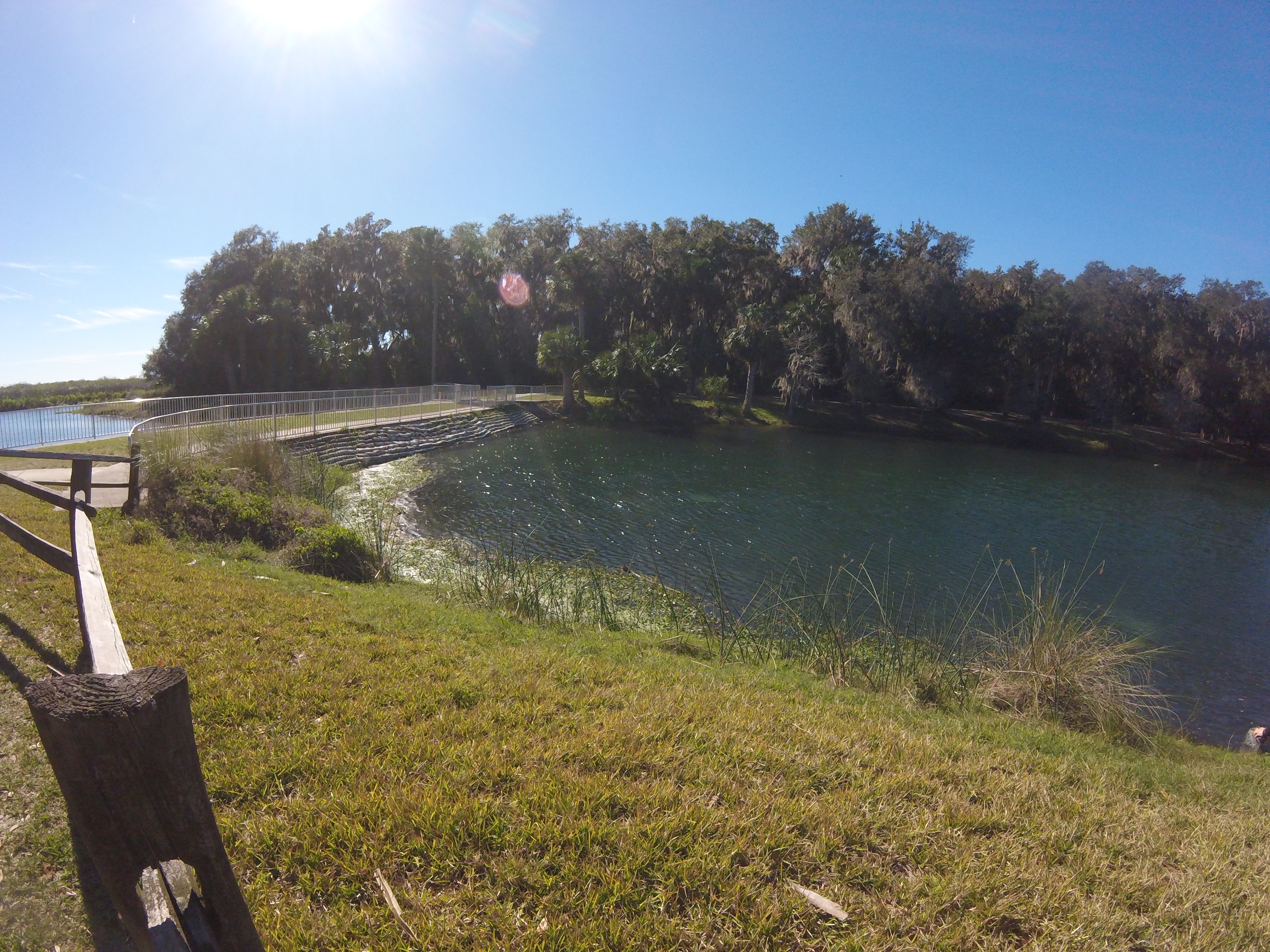
Purity Spring
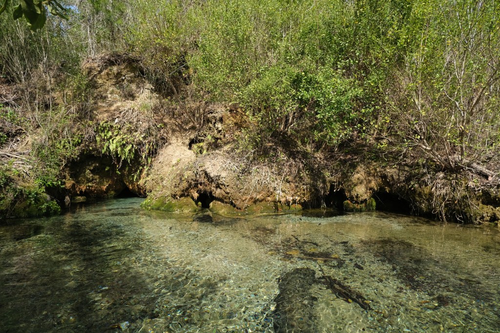
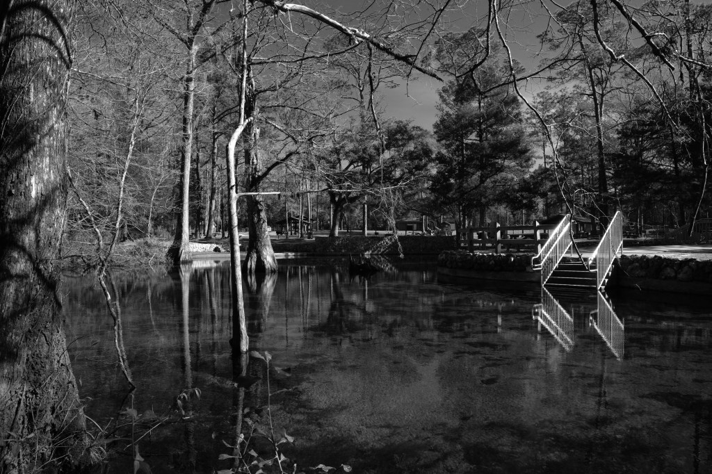
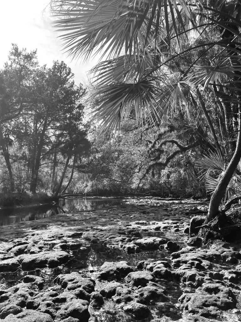
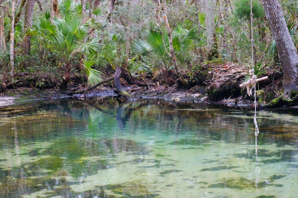
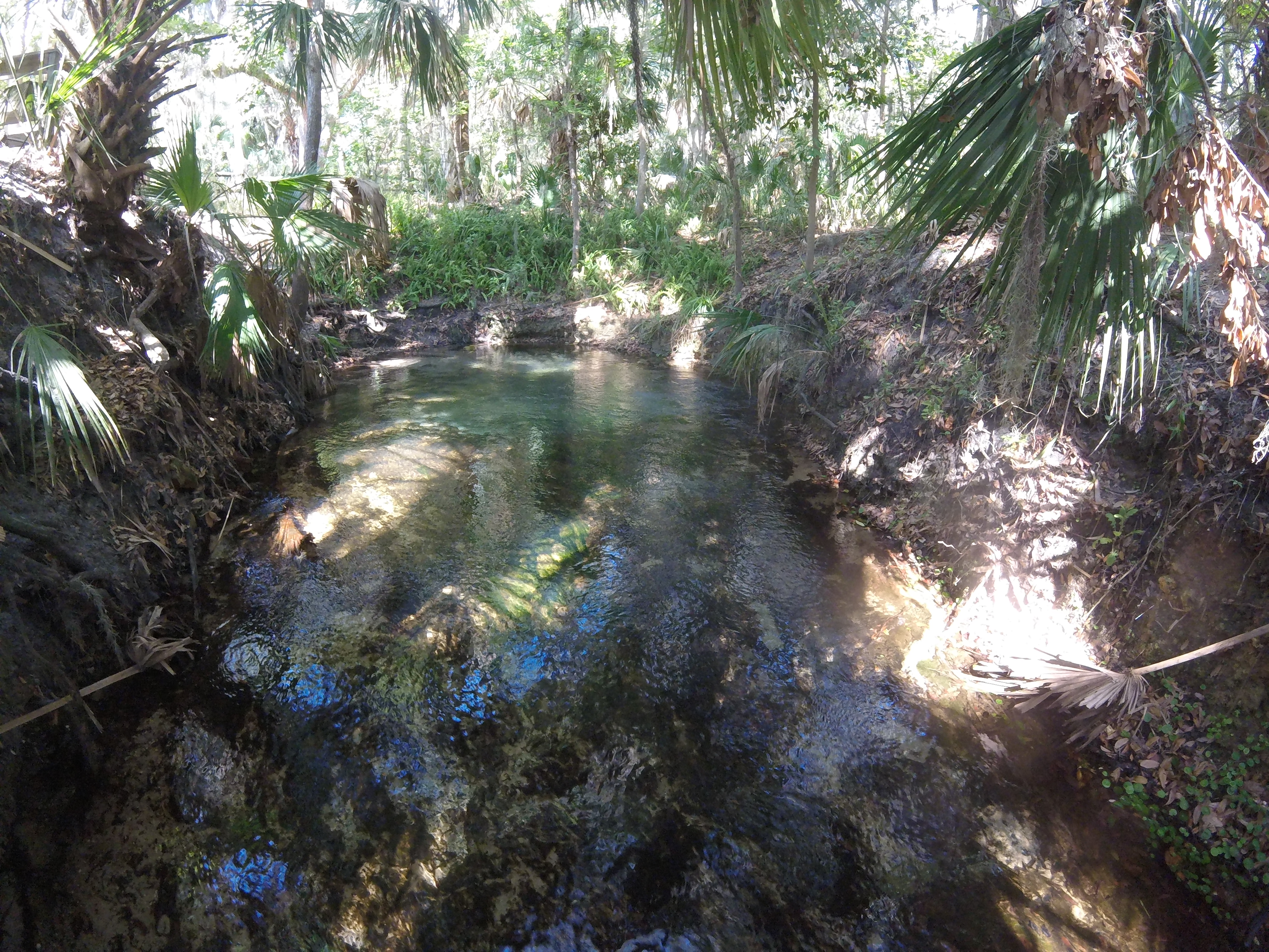
After finishing Sulphur Spring, I ventured over to Purity Spring, which was very small. The headspring was surrounded by a small cement wall, presumably to produce a pool for contemplation. It had a short, sandy run that flowed into the Hillsborough River through a culvert.
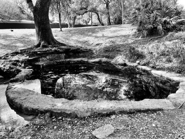
Purity headspring with its retaining wall.
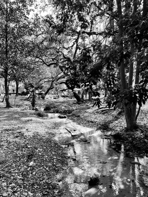
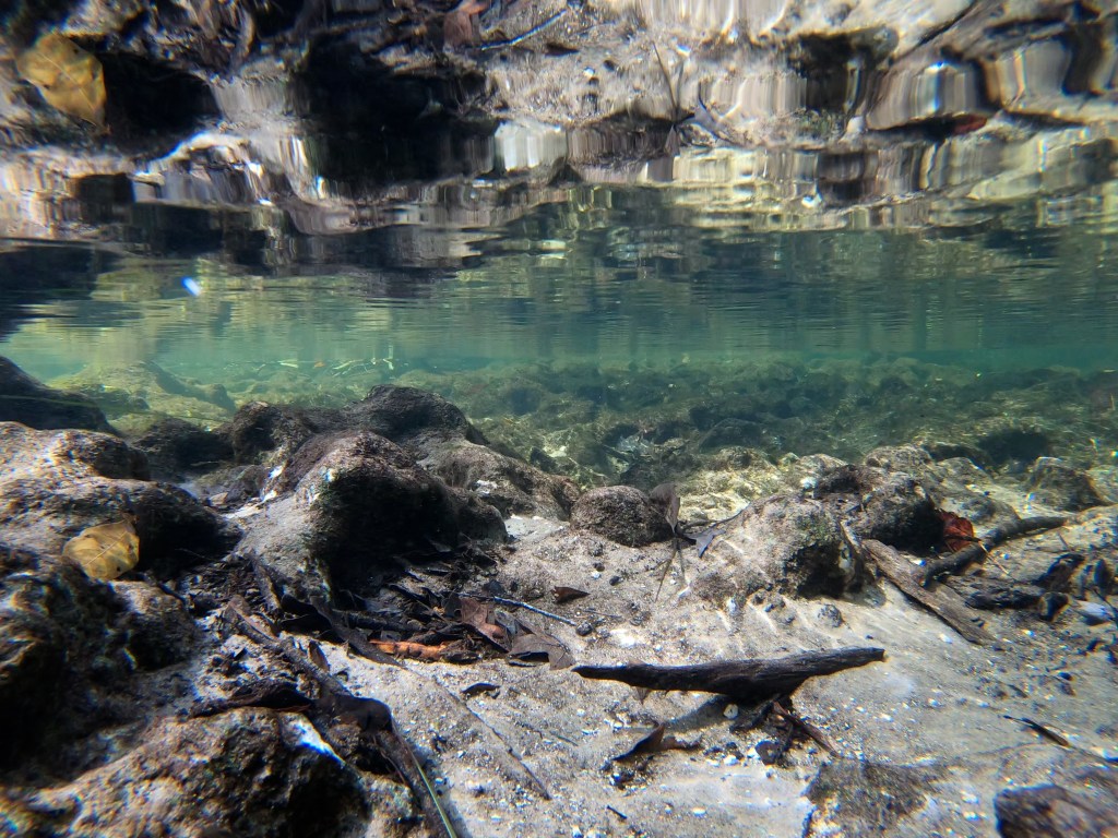
The clear and sandy Purity Spring run.

Purity Spring outflow into the Hillsborough River.
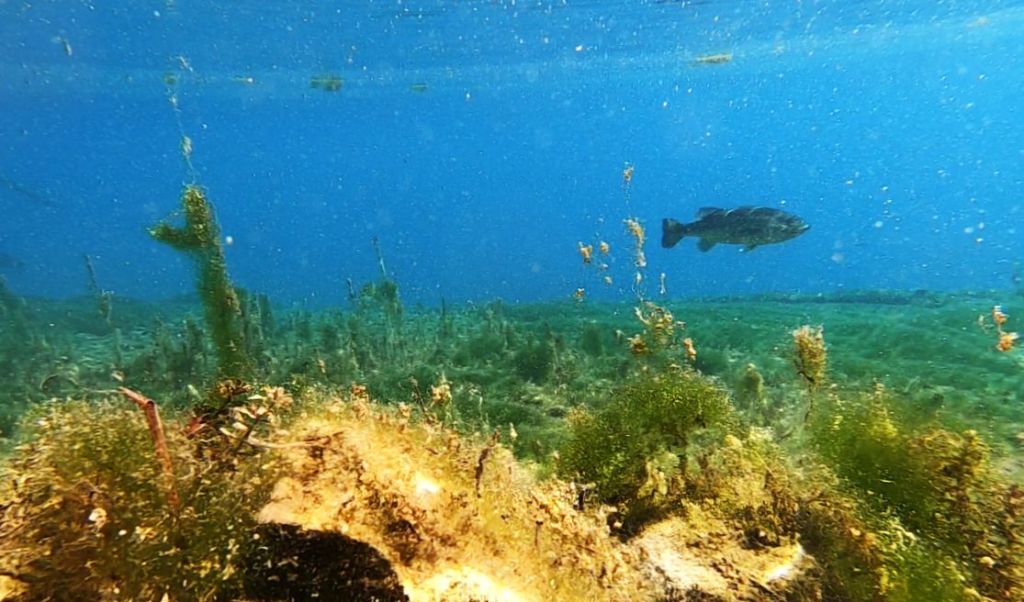
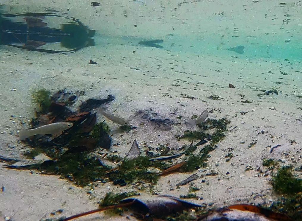
Given that the connection to the river was through a culvert, I almost did not film here. But I was already there, so I decided to go ahead. The wall around the headspring precluded easy fish movement, although fish from the run were present, and there were no plants in this little pool. However, downstream the run was filled with plants and leaves. Most of the fish in the run were mosquitofish (Gambusia holbrooki) and sailfin mollies (Poecilia latipinna).

Male sailfin molly showing off his blue and gold breeding colors on his tail. Some individuals can get quite extravagant with huge fins and bright colors.
As I watched the mosquitofish living their lives on the video, I was surprised to see three chanchita (Cichlasoma dimerus) timidly approach the camera. They jerk forward and stop as if they are ready to dart off at a moment’s notice.
Mosquitofish and chanchita in the Purity Springs run.
I was surprised again when I saw another exotic species new to me in the wild: the convict cichlid (Amatitlania nigrofasciata). I was starting to see a theme.
A stripy little convict cichlid darts through the foreground. Chanchita and mosquitofish mill around in the background.
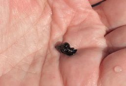
This spring also hosted an exotic snail, a different melania: the red-rimmed melania (Melanoides tuberculata).
Red-rimmed melania dotting the sandy substrate of Purity Springs.
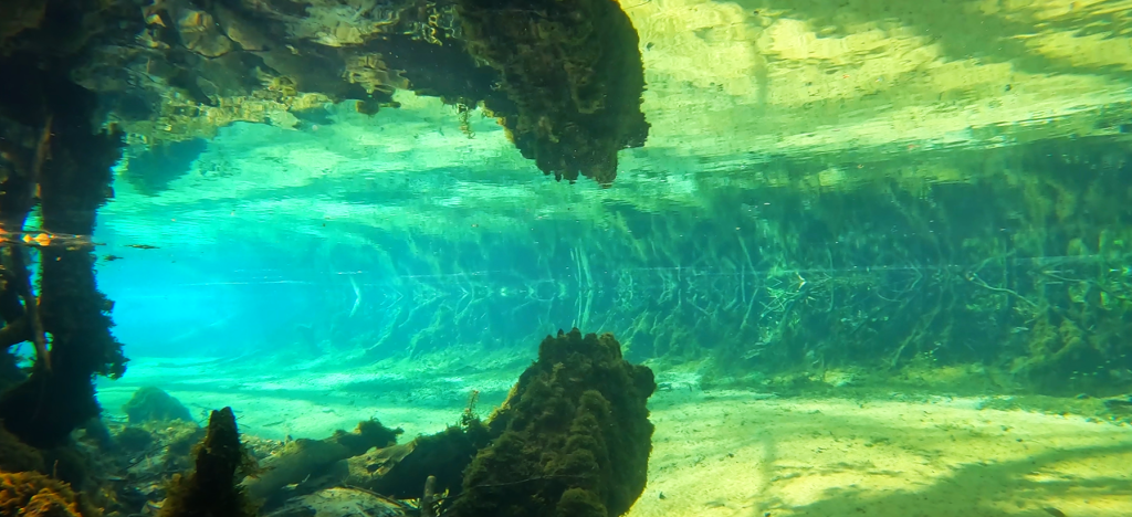
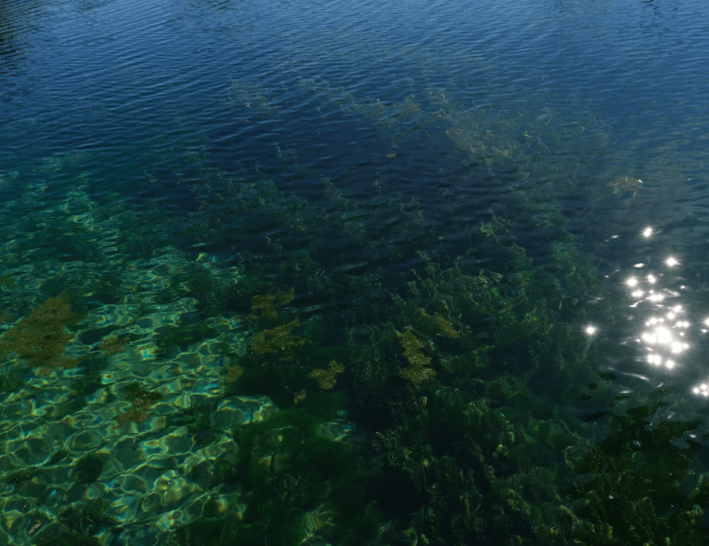
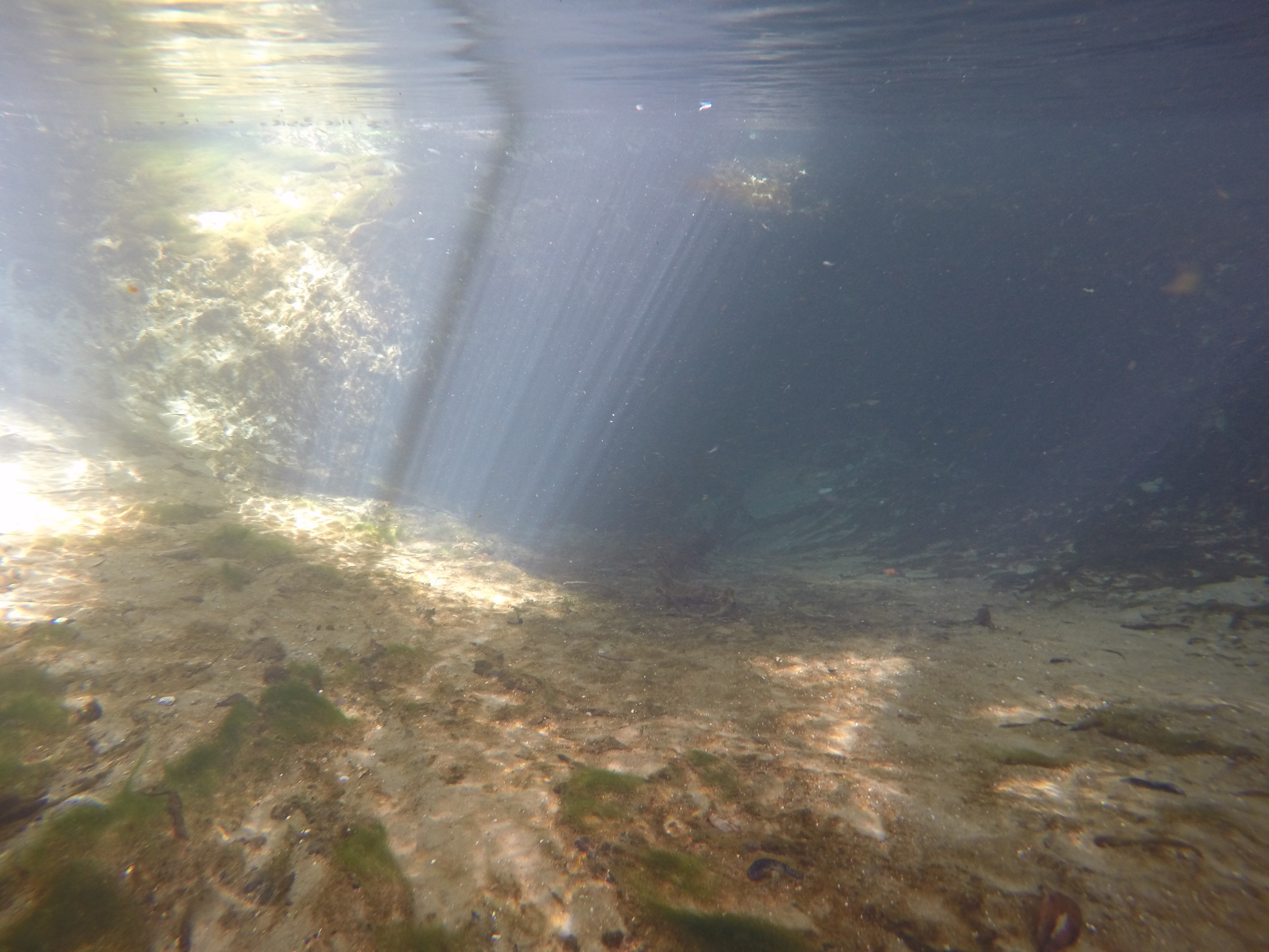
The spring itself had much lower salt concentration than the river, producing distortion as the spring water entered the river.
Visual distortion due to the difference in salinity of the water leaving the spring and the water of the river.
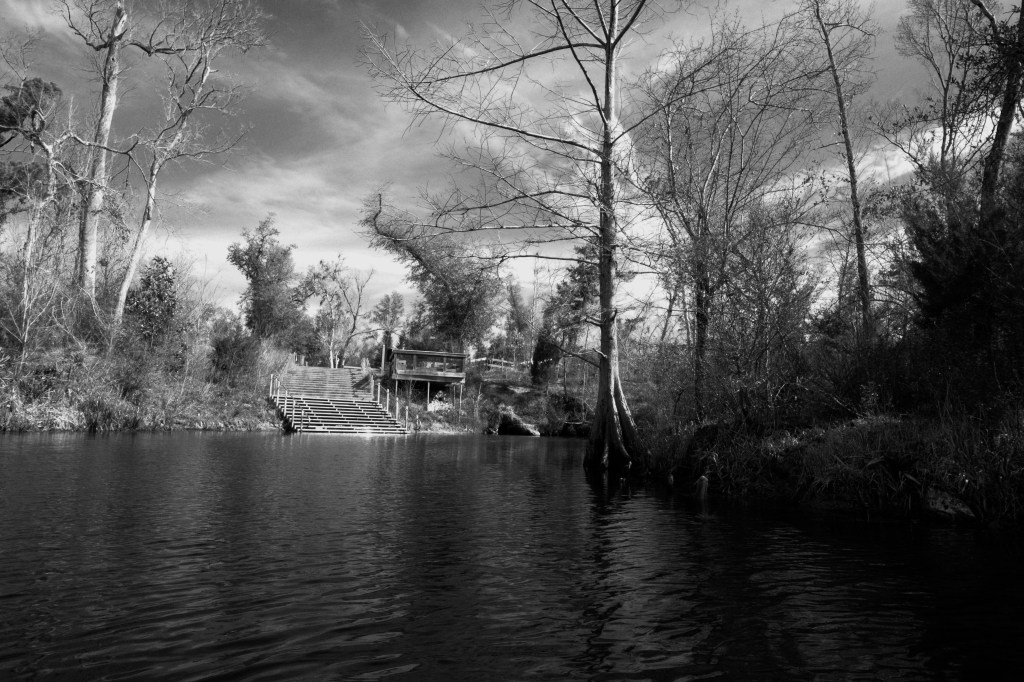
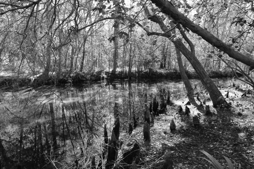
Ulele Spring

Ulele Spring, in Water Works Park, is in some ways a brand new spring. I have been told that the original spring was under the law building behind it and the water has been piped out from underneath the building through a culvert and into the restored run of the spring.
The law building in the background sits atop the source of Ulele Spring.
Like the spring, Water Works Park is brand new as well. It was a brownfield site that was completely reclaimed to produce a green space, a splash park, a dog park, restaurants, apartments… and Ulele Spring.
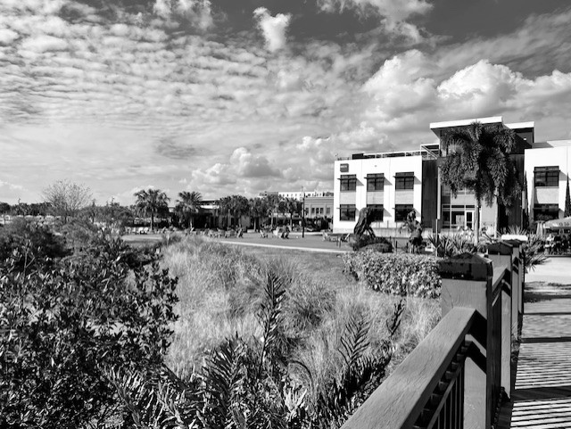
View of apartments (I think) and retail space from the spring.
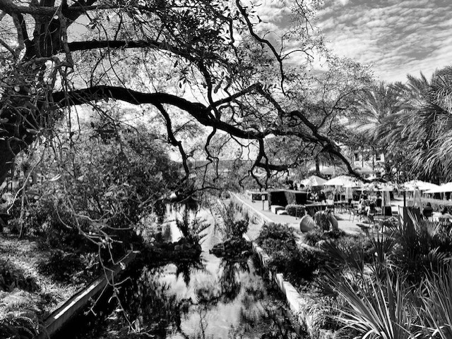
View of the Ulele Run with Ulele Restaurant alongside. As I worked, people ate and relaxed on the patio.
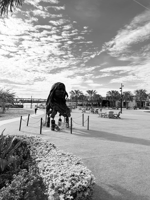
Public art in the green space next to the Ulele Spring run.
A view looking down the spring at the bridge that spans the run. Just beyond the bridge is the Hillsborough River.
As I worked, a young boy and his dad stopped out of the stream of people walking late in the day. They asked me if I was fishing. After I told them what I was doing, they thanked me for my work. So nice.
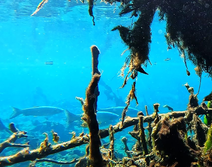
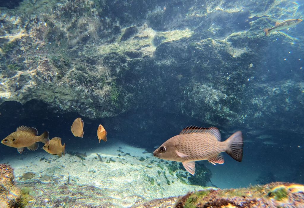
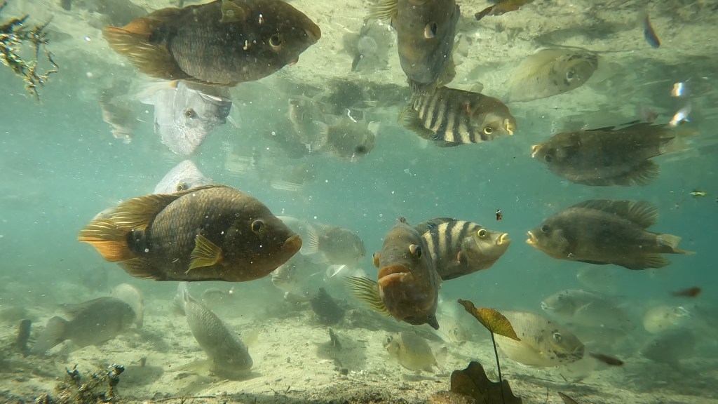
When I began to review the footage that I collected at Ulele, I was stunned by two things: 1) the incredibly high density of fish and 2) the incredibly high density of large, exotic fish. I have never seen anything like it.
A very flashy male sailfin molly courting females with a huge dorsal fin and gold color in the foreground (top) and very pregnant female mollies (bottom) in Ulele Spring. Not only are there a lot of mollies and mosquitofish in the foreground, but there are lots of big cichlids milling around in the background. It is a lot of fish biomass.
Beyond the poeciliids (mosquitofish and mollies), there were only a few native, truly freshwater fish. I recorded a few killifish (bluefin, Lucania parva, and least, Heterandria formosa). In the upstream area, almost all of the other fish were exotic. I recorded more chanchita, convict cichlids, blackchin cichlids, but I also observed blue tilapia (Oreochromis aureus) and Mayan cichlids (Mayaheros urophthalmus). The exotic fish biomass was astounding.
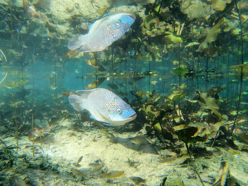
A large blue tilapia with a very blue snout (top) and Mayan cichlids with blackchin cichlids in the background (bottom).
Downstream, below a small weir, I observed more marine fish: common snook (Centropomus undecimalis), striped mojarra (Eugerres plumieri), tidewater mojarra (Eucinostomus harengulus), and Atlantic needlefish (Strongylura marina).
Tidewater mojarra darting around the foreground with a snook cruising through the background.
Striped mojarra with blackchin tilapia in the background.
Even with all that fish biomass, a turtle ventured into the spring.
Mayan cichlid in the foreground with blackchin cichlids in the background and mosquitofish and mollies above and below. Shortly after the end of this clip, the Mayan was overrun by more Mayans and blackchins.
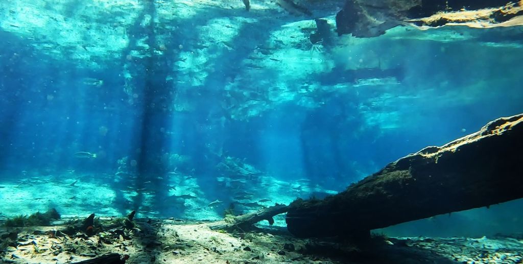
I have been looking for saltwater influences on springs and I definitely found them in two of the three of these springs. Purity was too small and disconnected to have salt tolerant fish roaming into and out of it, but the other two springs hosted a combination of freshwater, salt tolerant, and exotic fish. These mixtures of freshwater and salt tolerant fish were no surprise as the conductivity (something like the freshwater version of salinity) in Sulphur Spring (5.3 microS/cm) and in Ulele Spring below the weir (5-5.1 microS/cm) was 25-50 times the conductivity in most of the other springs that I have visited (Ulele conductivity above the weir = 0.7 microS/cm, Purity conductivity = 0.5 microS/cm). According to the eminent Florida journalist and writer, Craig Pittman, Sulphur Spring has experienced increases in salinity as underground connections have changed with landuse on the surface. In Ulele, the high conductivity water below the weir probably was river water.
Finding current water quality data on springs in Florida can be a challenge as it has been collected somewhat spottily, if at all. Nitrogen data for Sulphur Springs suggest that the nitrate concentrations have not been particularly high, but the phosphate concentrations have been an order of magnitude higher than background. High nutrient concentrations could contribute to the abundant algae that I observed in the run, although there is likely more to that story. My data suggest that all three of these springs were particularly warm for Florida springs (25-26C). As for oxygen, for all but the walled-off headspring of Purity Springs, the oxygen concentrations were high for Florida springs (Sulphur: 5.4-9.1 mg/L, Purity: 1.6-4.7 mg/L, Ulele: 6.7-7.9 mg/L). However, I cannot know the oxygen concentrations at the sources of Sulphur and Ulele as I was sampling water that had gone through a dam at Sulphur and through a conduit at Ulele.